Until very recently, I was not entirely convinced that New Hampshire was a real state. Each of the surrounding states at least had something to recommend it: Maine had its lobster, Vermont its maple syrup, and Massachusetts the best tortilla chips in the United States.1 New Hampshire, on the other hand, existed in much the same way that Narnia or Staten Island did—it perhaps existed in theory, but certainly not in practice.2
But since I am a man of science, I have to admit that I was wrong on that count, and I can now report that New Hampshire does indeed exist.3 I can say this with some confidence because I just spent three days backpacking there with some friends, in the harsh but beautiful White Mountains. Originally planning on tackling the ambitious Presidential Traverse through the highest peaks in the northeast, we ended up not succeeding in this task, although we did succeed in having fun.
Since the drive up from New York City to New Hampshire is quite long, and we wanted to get an early start on our first day of hiking (i.e. Saturday), we decided to split up the driving into two days, spending a night in between in Boston. Kevin, Marissa, and I drove up from New York on Thursday night after work, arriving quite late in the night. We crashed at Karena’s place, and I spent the next day working from the nearby Somerville public library. (Another scientific discovery: I confirmed that it is, in fact, possible to get work done without a mechanical keyboard and at least two monitors. Who would’ve thought?) Nothing too exciting happened during the day, except for a quick lunch with Evan at Yume Ga Arukara, that udon shop that everyone always talks about.
After work, we met up with Lindsay and Doug, who had apparently had an arduous voyage coming up from DC. Our full number was now assembled; at six members, this was the largest group that I had ever been backpacking with. We packed our snacks, did a quick gear inventory, loaded up the car, and then embarked on the drive up to New Hampshire, to stay at a private campground for the night. Along the way, we made two necessary stops: first at REI for some last-minute purchases, and second at Market Basket, a local New England grocery store chain that boasts a glorious $2.99 cheeseburger-and-fries.
We woke up decently early on Saturday morning, as we had a lot to do. After packing up camp, we drove about ten minutes to the AMC Highland Center, which was our intended exit point from the trail. Our plan was to leave our car at the exit point, so that it would be there when we finished on Monday. To get from the Highland Center to the trail head, we had arranged for a private hiker transport service to give us a ride. 4 The transit service—called Trail Angels—was really awesome, run by a friendly local hiker named Dan. Definitely check them out if you ever find yourself hiking in New Hampshire!
In the five minutes before Dan was to arrive (because of course we were running behind schedule), we went over to the Highland Center breakfast buffet to get one last properly cooked meal in before the hike; we’d only have freeze-dried meals to eat over the next few days. Of course, five minutes is not really enough time to eat breakfast, so we engaged in some slightly insane behavior: instead of eating at the tables, we grabbed some coffee cups and loaded them up with potatoes, scrambled eggs, and bacon to eat on the car ride.
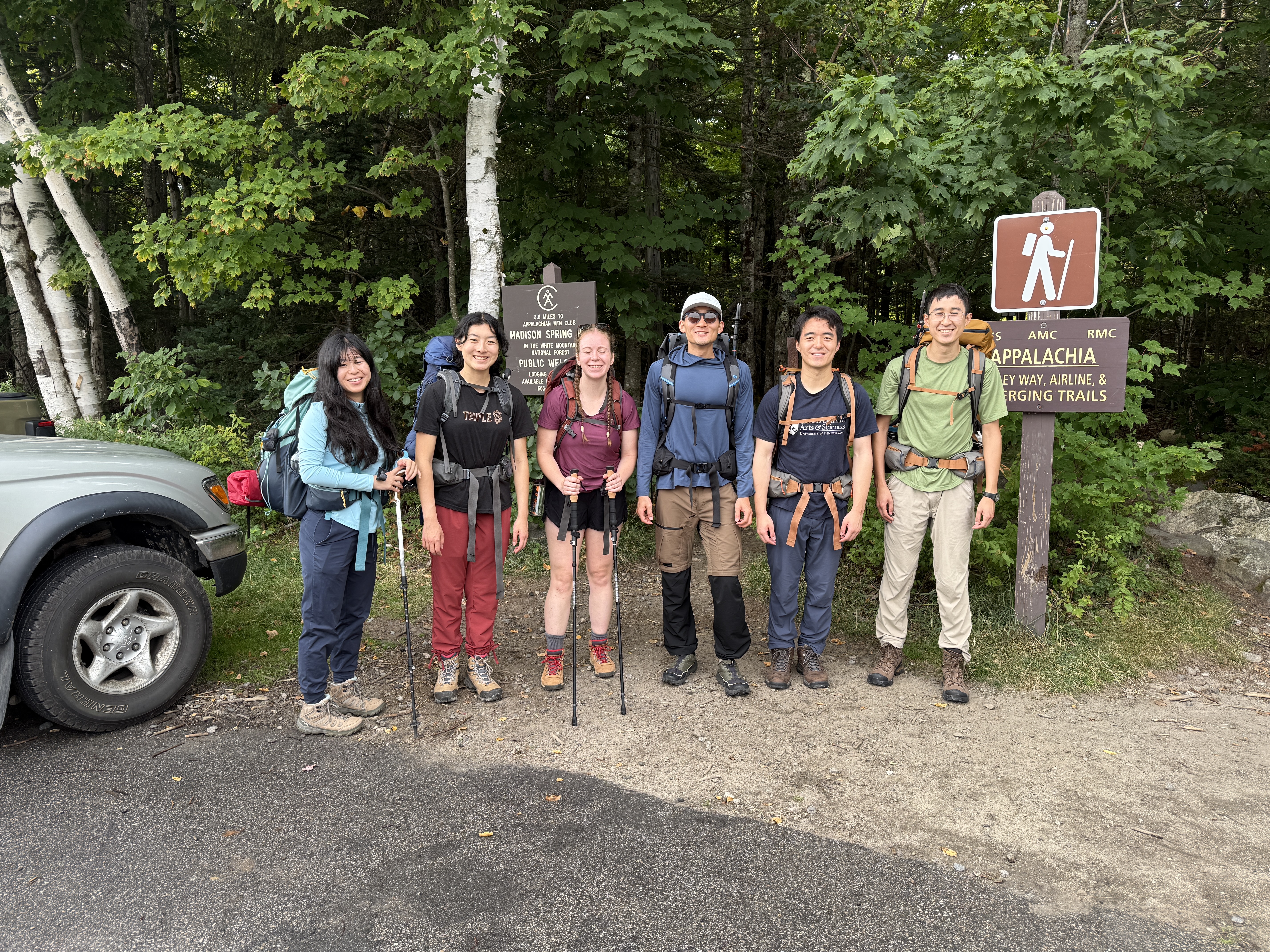
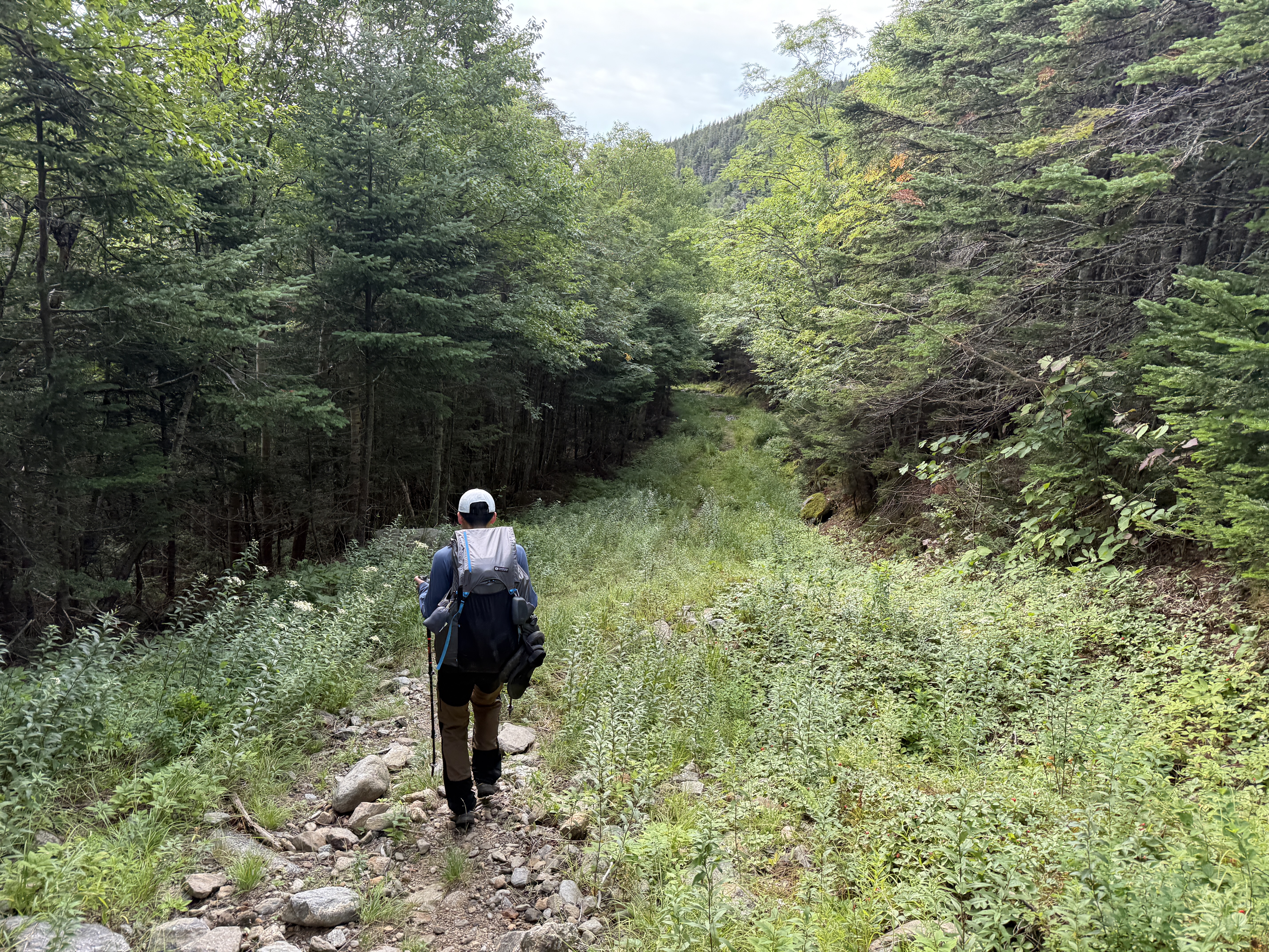
The car ride took longer than I’d imagined, but because of our early start to the day, we still started our hike at a respectable 8:40 am, For this first part of the day, we were basically just climbing up from the valley onto the ridge, passing by the AMC Madison Spring Hut before hiking down off the ridge again to reach our intended campsite for the night, at the Perch. Although Dan had recommended taking a side trail to see some waterfalls, we decided to stick with the main trail, Valley Way, for this initial section, as we still had a planned four thousand feet of elevation gain ahead of us.
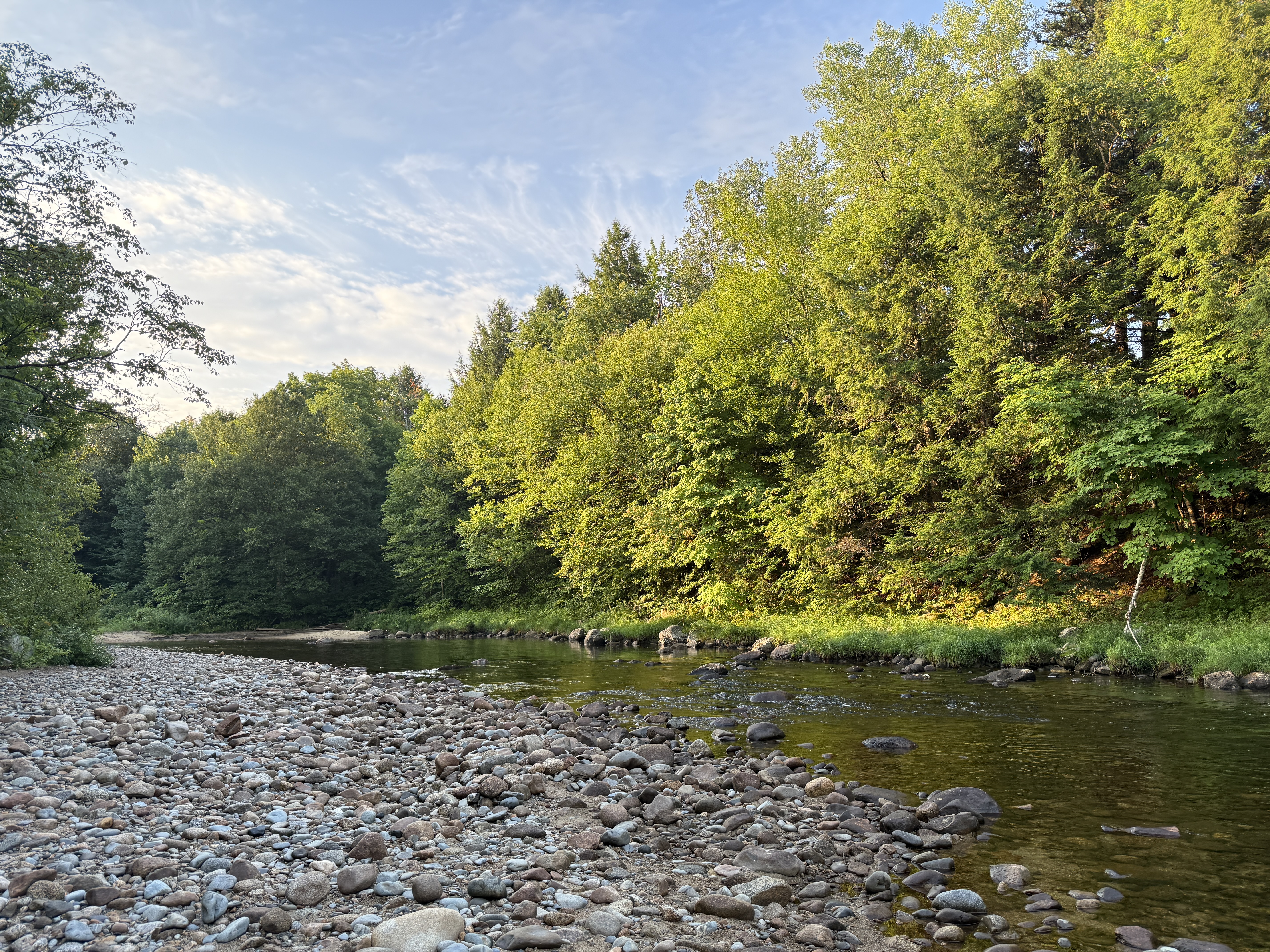
Things started out innocently enough: a gradual uphill slog through the woods, fairly similar in spirit to the first day of pretty much any mountain trek. But after only a couple of hours of hiking, we could see the early warning signs of trouble starting to brew. You see, the White Mountains—and especially the Presidential Range—have a reputation as a somewhat fearsome place to hike. On what does that reputation rest, you ask? Well, to start with, the Whites have very rocky terrain and lots of elevation gain, but you can find that in a lot of places in the northeast. No, what really set apart the Whites from other hikes in the region are two things: first, the terrible weather, justifiably described as some of the worst in the world. (Seriously, for most of the twentieth century, the record for the highest wind speed ever recorded by man was held by the summit of Mount Washington, at 231 miles per hour!) And second, much of the traverse lies above the treeline, leaving you extremely exposed to said weather.
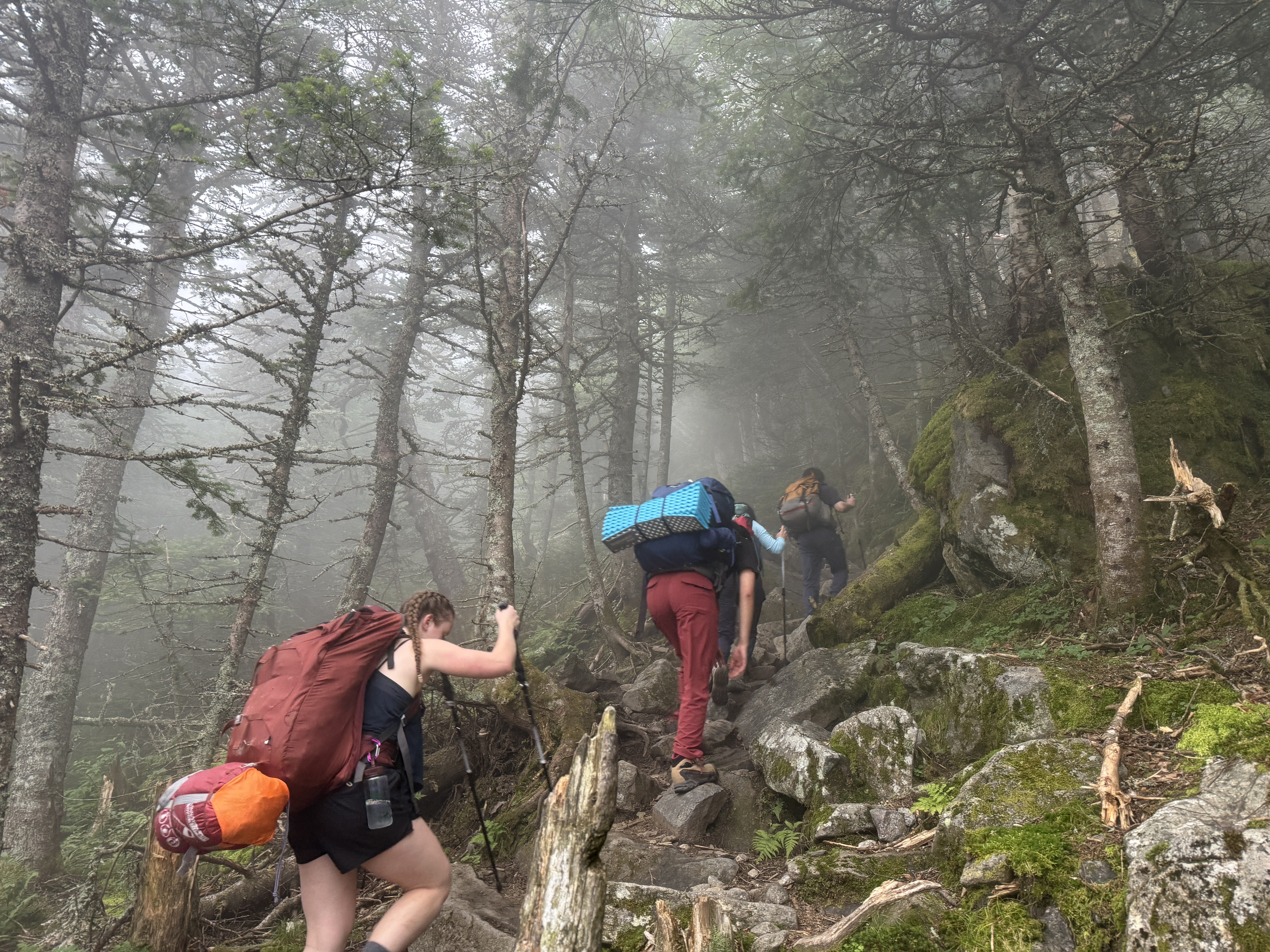
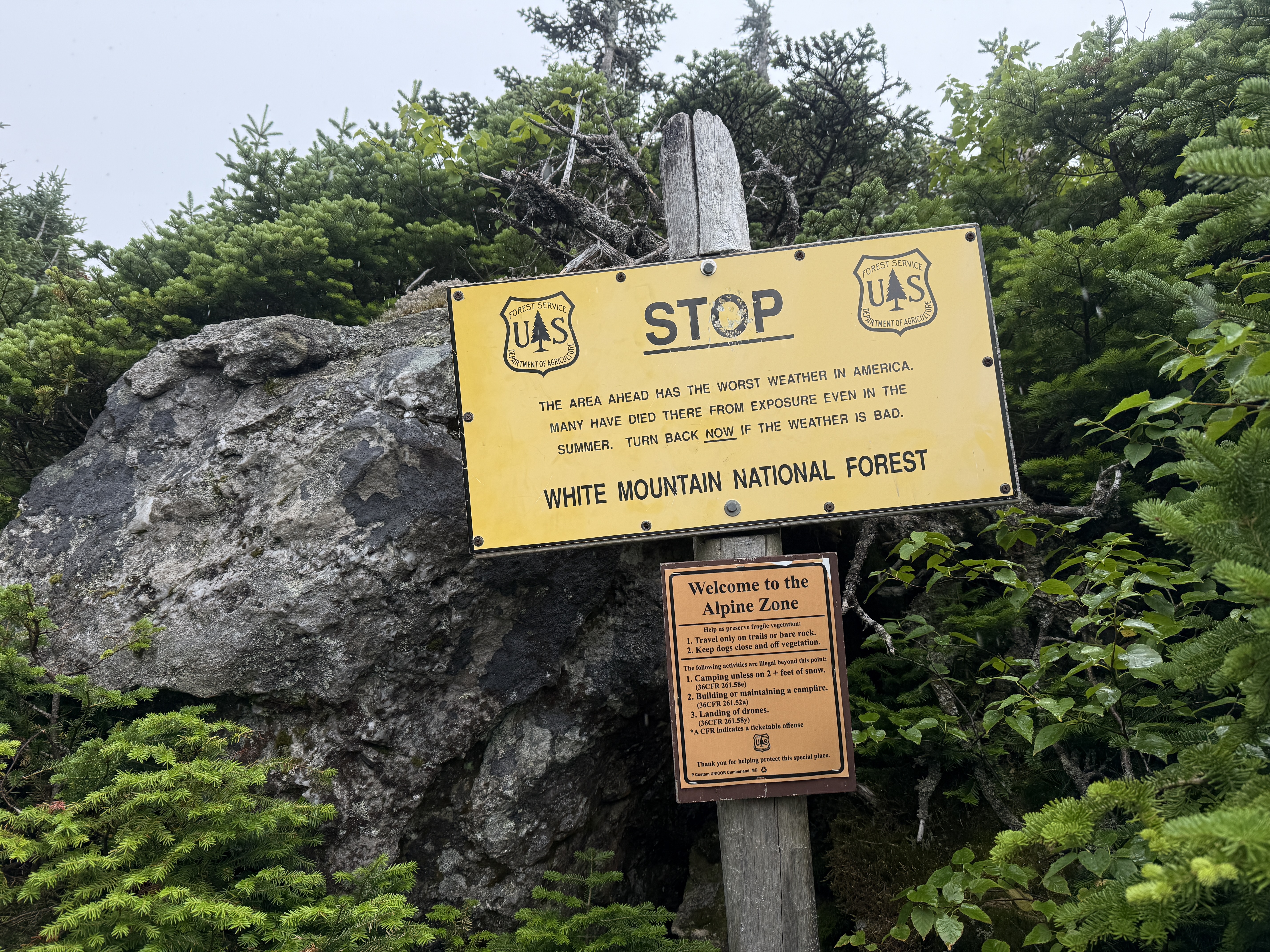
From examining the weather forecast, we had known before setting out that there was a nontrivial chance of foul weather in the afternoon, but we decided to press on with the trip, since it’s quite hard to align six people’s vacation schedules.5 Of course, if it got really dangerous, we would have to turn back, but until that point we decided that we’d play it by ear. As we continued to climb upward toward the exposed ridge, we began to see increasingly bad omens: the last bits of blue sky were chased away by ever-darkening clouds, we became surrounded by dense fog, and some raindrops started to fall. As we prepared to clear the treeline and enter the exposed ridge, we were greeted with a bright yellow sign warning us about the area ahead, saying that “many have died there from exposure even in the summer.” Sounds fun!
In anticipation of the worsening weather, we stopped to don some rain gear. As the rain began to fall harder, we made our way as fast as we could to the shelter of Madison Spring Hut; in the rush to get to the hut, the group naturally started to split in two by hiking speed. The first group managed to avoid the worst of the rain (for now…), but unfortunately the second group ended up quite drenched.
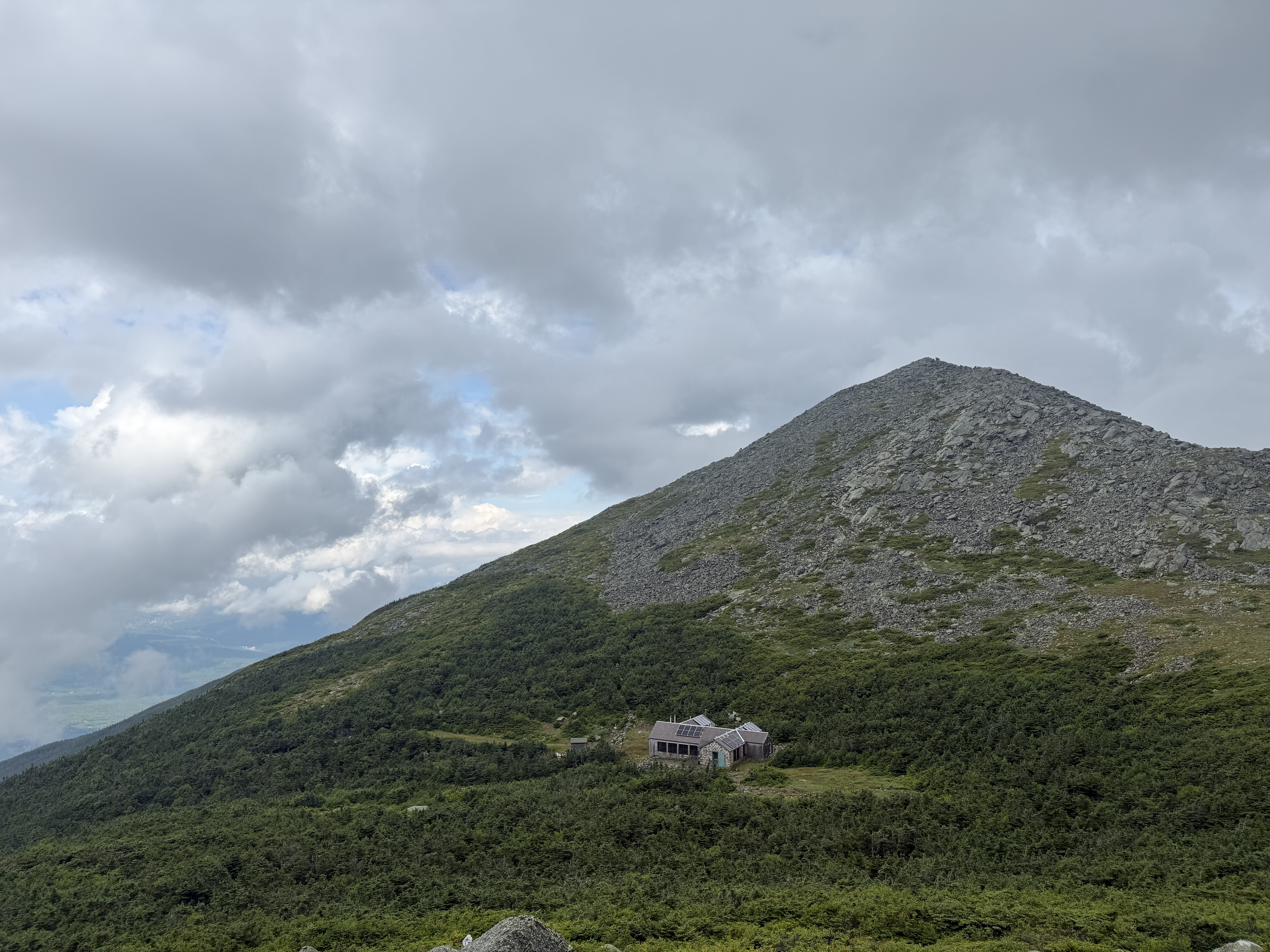
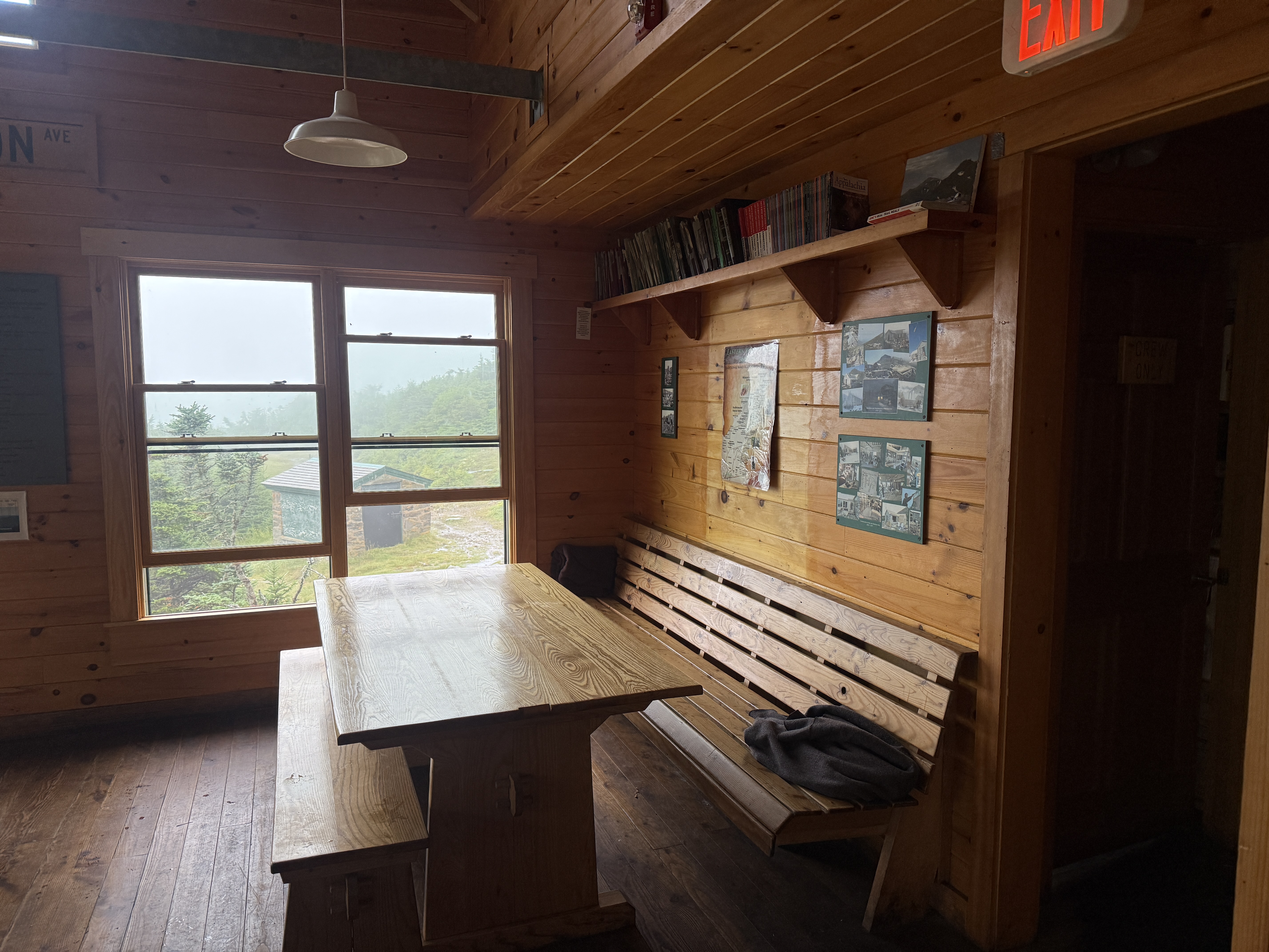
It is, of course, somewhat dispiriting to get drenched while outdoors, and group morale was at a bit of a low after this experience. Fortunately, we had the Madison Spring Hut to take shelter inside; we dried off, made some lunch, and enjoyed the luxurious use of a real lavatory. We also had great entertainment, for Kevin performed two of the greatest magic tricks I have ever witnessed while hiking: out of his pack, he summoned (1) homemade dehydrated kimchi fried rice and (2) an entire coffee set, with whole beans, a grinder, and an electronic scale to precisely measure the perfect cup! I don’t drink coffee, but even I have to respect the craft there.
After either a hearty meal (if you were Kevin eating kimchi fried rice) or a sad meal (if you were the rest of us eating tortillas with nut butter)6, the rain miraculously let up for a bit. Kevin, Marissa, Karena, and I took advantage of this short window to summit the nearby Mount Madison, while Doug and Lindsay stayed behind to enjoy the hut longer. The hike up Madison was short but sweet, and it was fun hopping between all the boulders, a style of hiking that I affectionately call “rock hopscotch.” Although the fog obscured pretty much all the views from the summit, I personally didn’t mind that much, because I was fairly into the surreal, almost magical atmosphere that the fog lent to the mountain. It was like walking in a dream.
When we had reached the summit, we turned around and hiked back down to the hut to meet up with the others, with whom we set out somewhat trepidatiously to continue our hike. Now this is where you have to understand the particulars of our itinerary in order to appreciate our upcoming ordeal. Many (most?) people who do the Presidential Traverse as a multi-day hike will stay in the AMC huts; commonly, Madison Spring Hut is itself the destination for the first day. Staying in the AMC huts has several advantages: the mileage is better distributed throughout the days, and you can cut down on a lot of pack weight if you don’t have to bring a tent, sleeping bag, or food. However, we had opted for the more, er, rustic option: we planned to camp every night, and therefore had to be totally self-sufficient. On its own, this isn’t terrible, but unfortunately because most of the traverse is above the treeline, it’s actually not legal to camp there. Instead, you have to hike down from the ridge every day in order to reach a suitable campsite, and then hike back up again every morning. As you can imagine, this adds quite a lot of elevation gain to the hike, all while carrying extra weight.
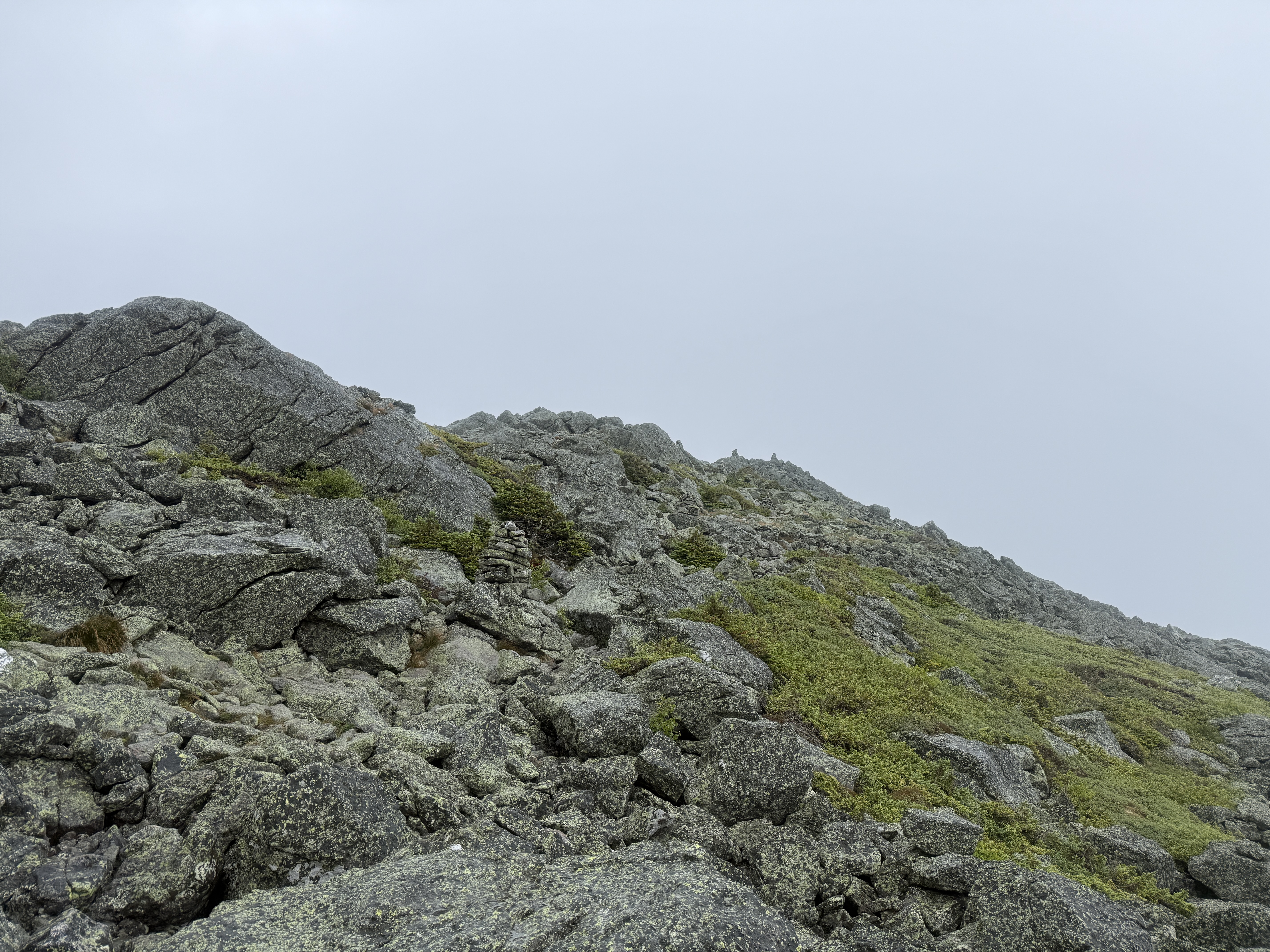
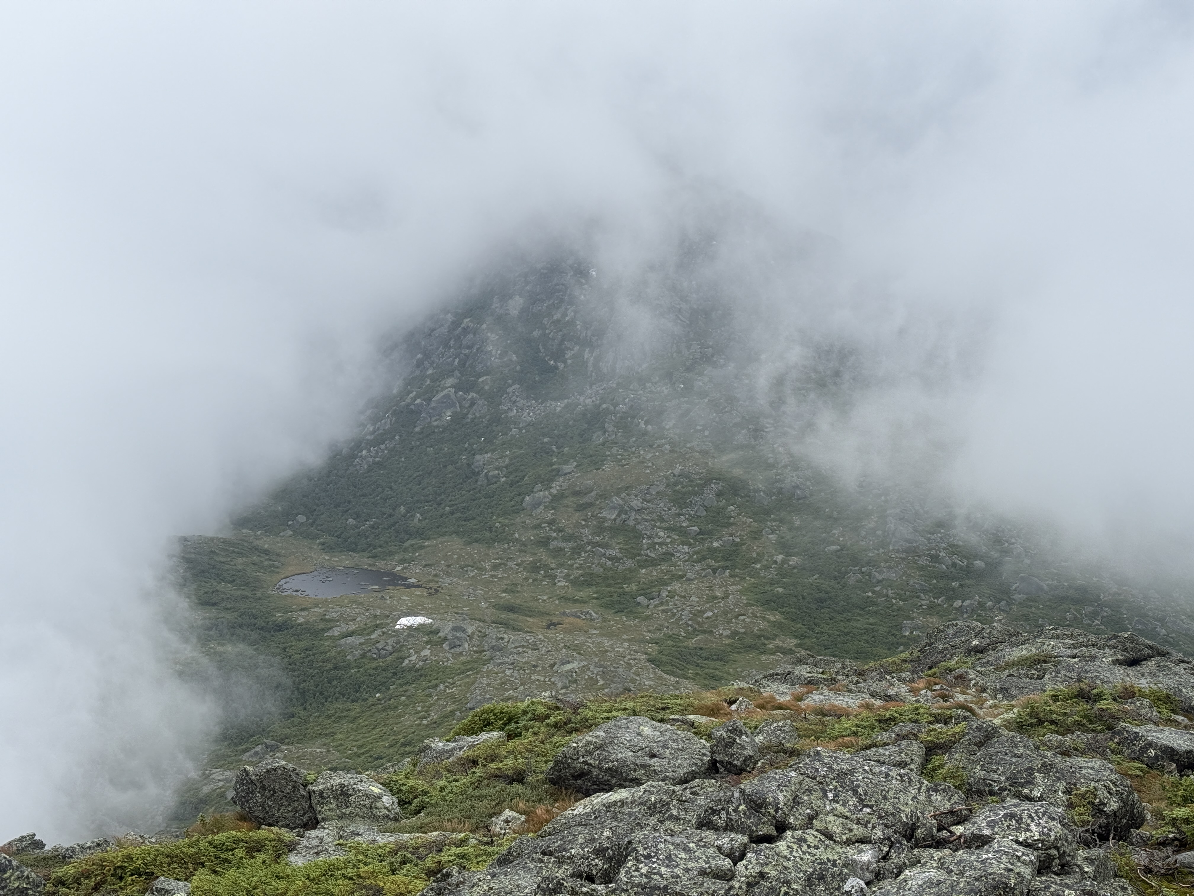
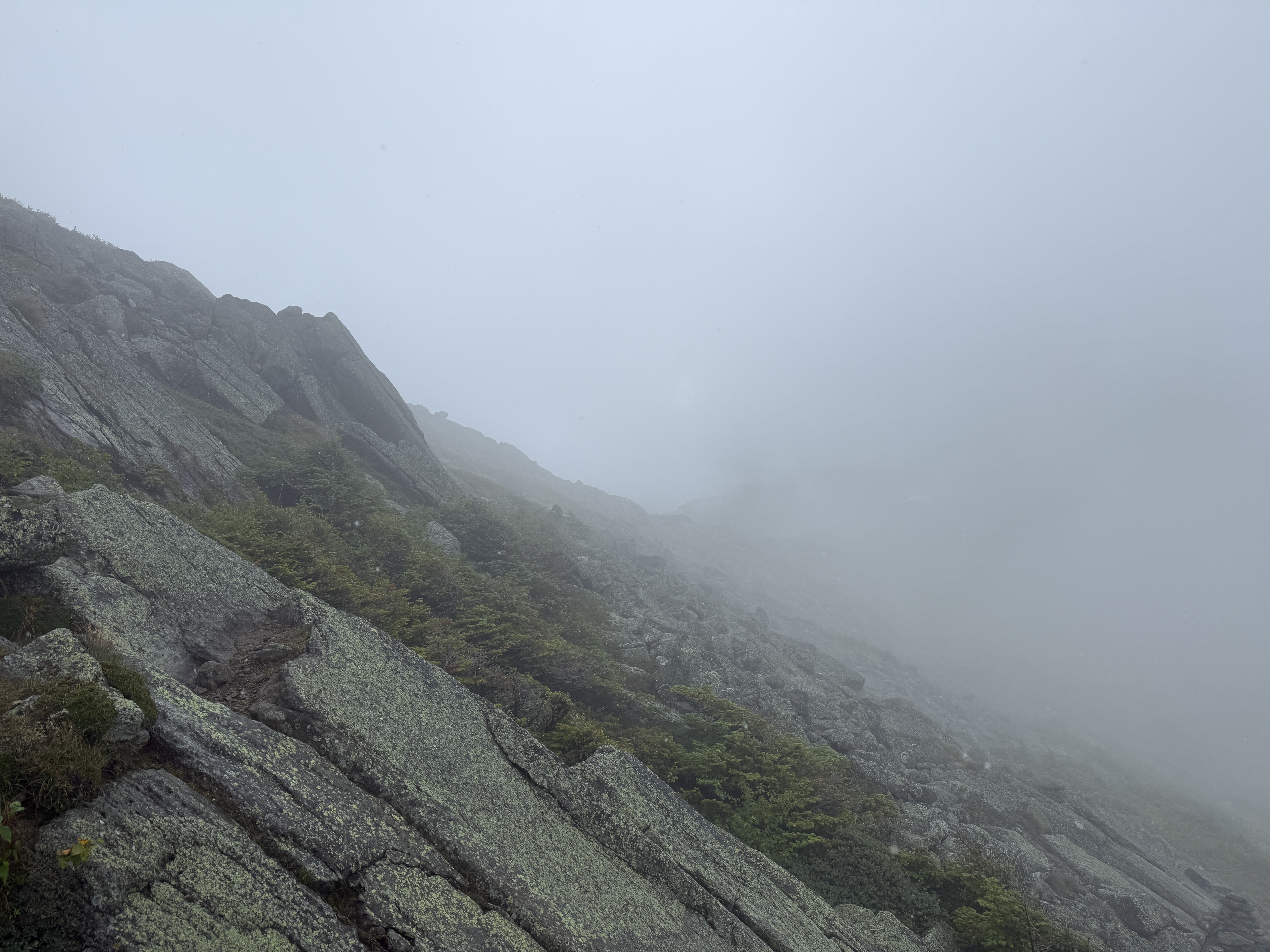
Our target campsite for the night was a spot called the Perch, maintained by the local Randolph Mountain Club. To get there, we still had several more miles of hiking to go, and the weather was still getting worse. But there was nothing much to be done: we had to leave the warm, dry Madison Spring Hut and venture forth into the rainstorm if we were to make it to our campsite in a reasonably timely manner.
Given the conditions, we decided to do the wise thing and skip the summit of Mount Adams, taking an alternative route that would get us to camp faster. At first, I was secretly kind of enjoying the wind and rain—in moderate doses, I think a bit of foul weather really adds to one’s sense of adventure. Unfortunately, the wind and rain did not politely stop at a moderate dose, but instead rudely proceeded to develop into what can only be described as a full-blown storm. And soon enough, I started to feel water seeping into my boots. Ah well, my boots had put up a valiant fight against the rain all day, but at some point a relentless hydraulic assault will overwhelm even the best of boots. It is quite challenging to completely dry out boots in the field, and so I knew that I had probably taken my last steps of the trip in dry socks. Squish, squish.
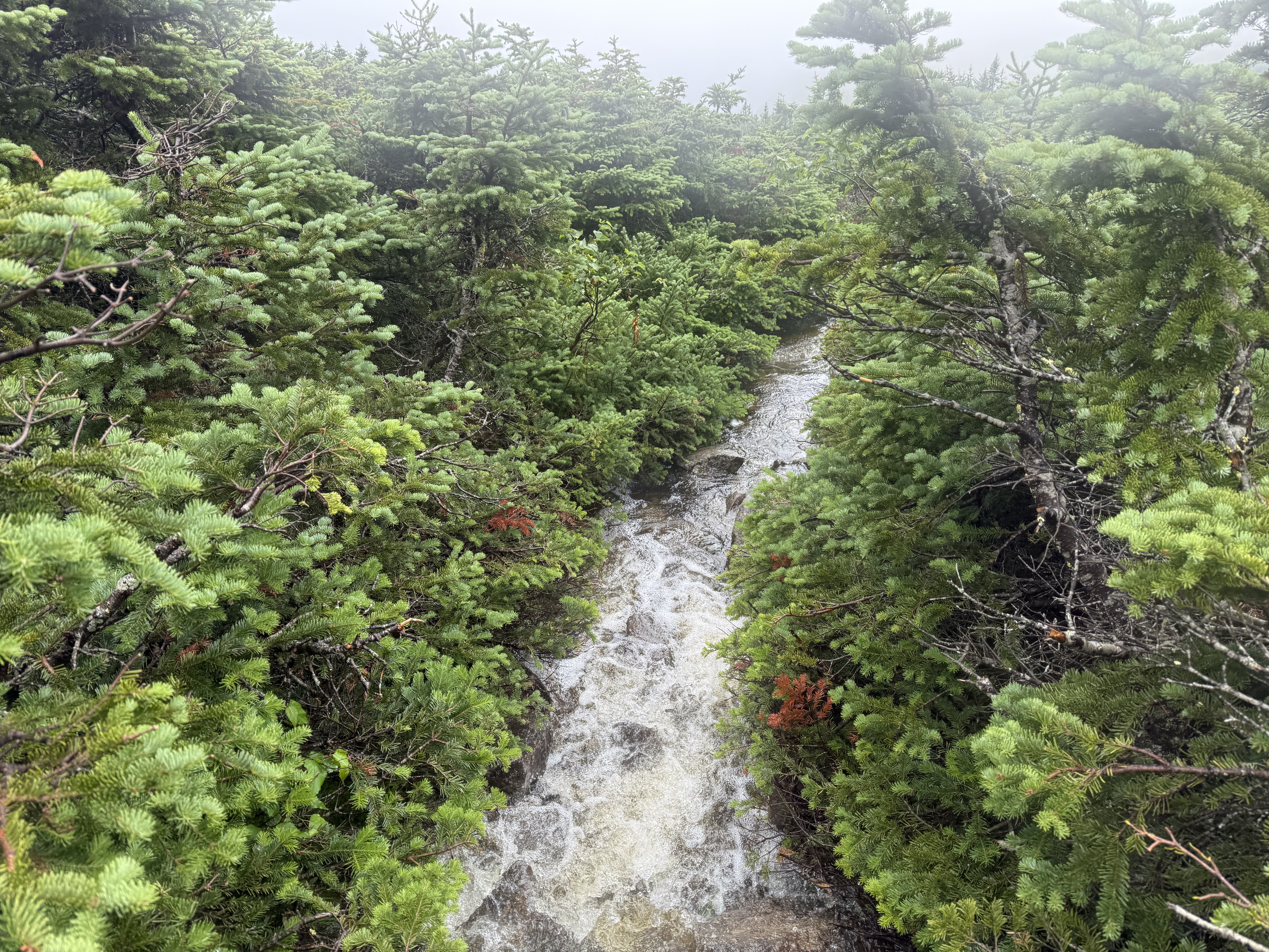
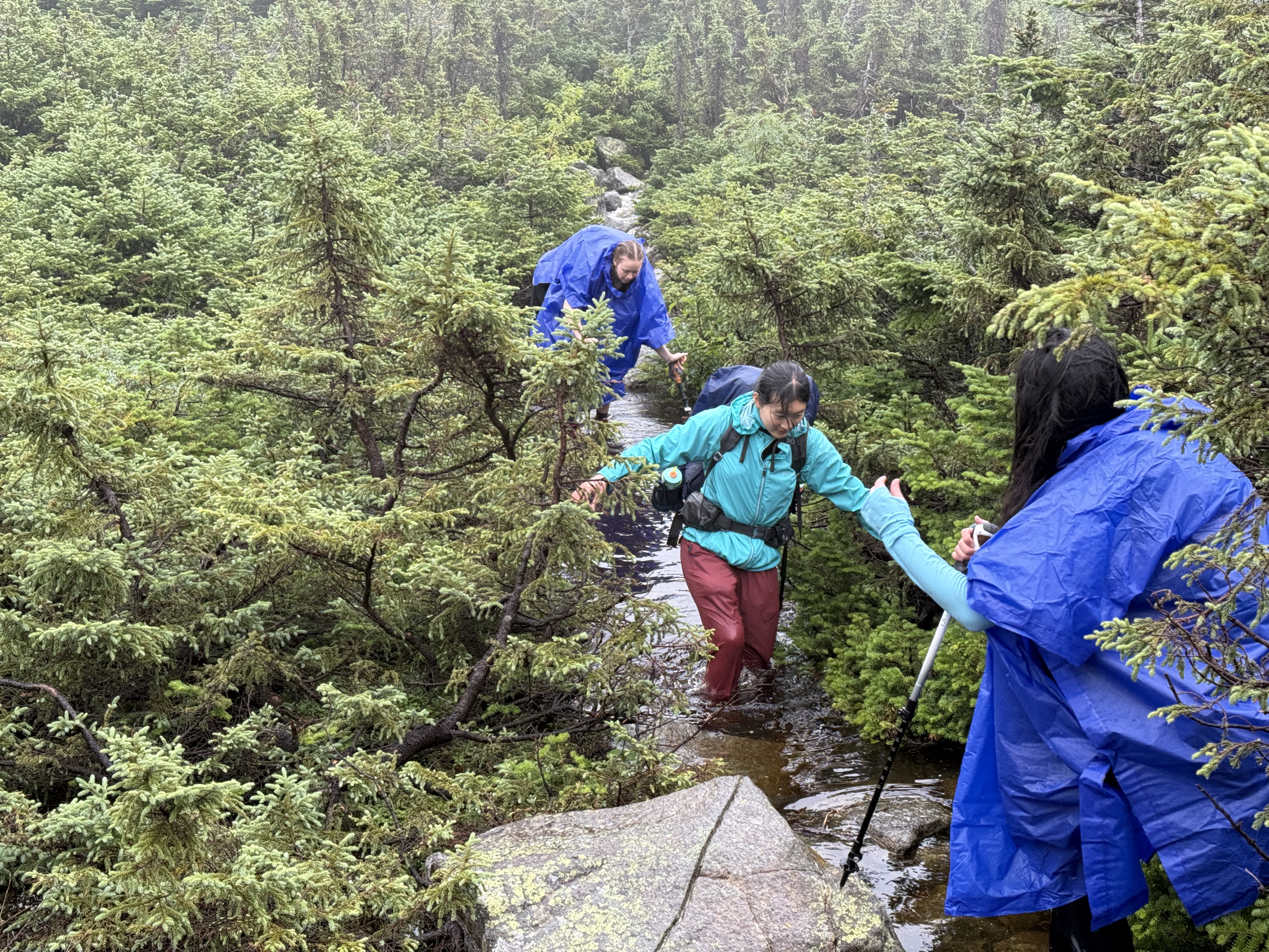
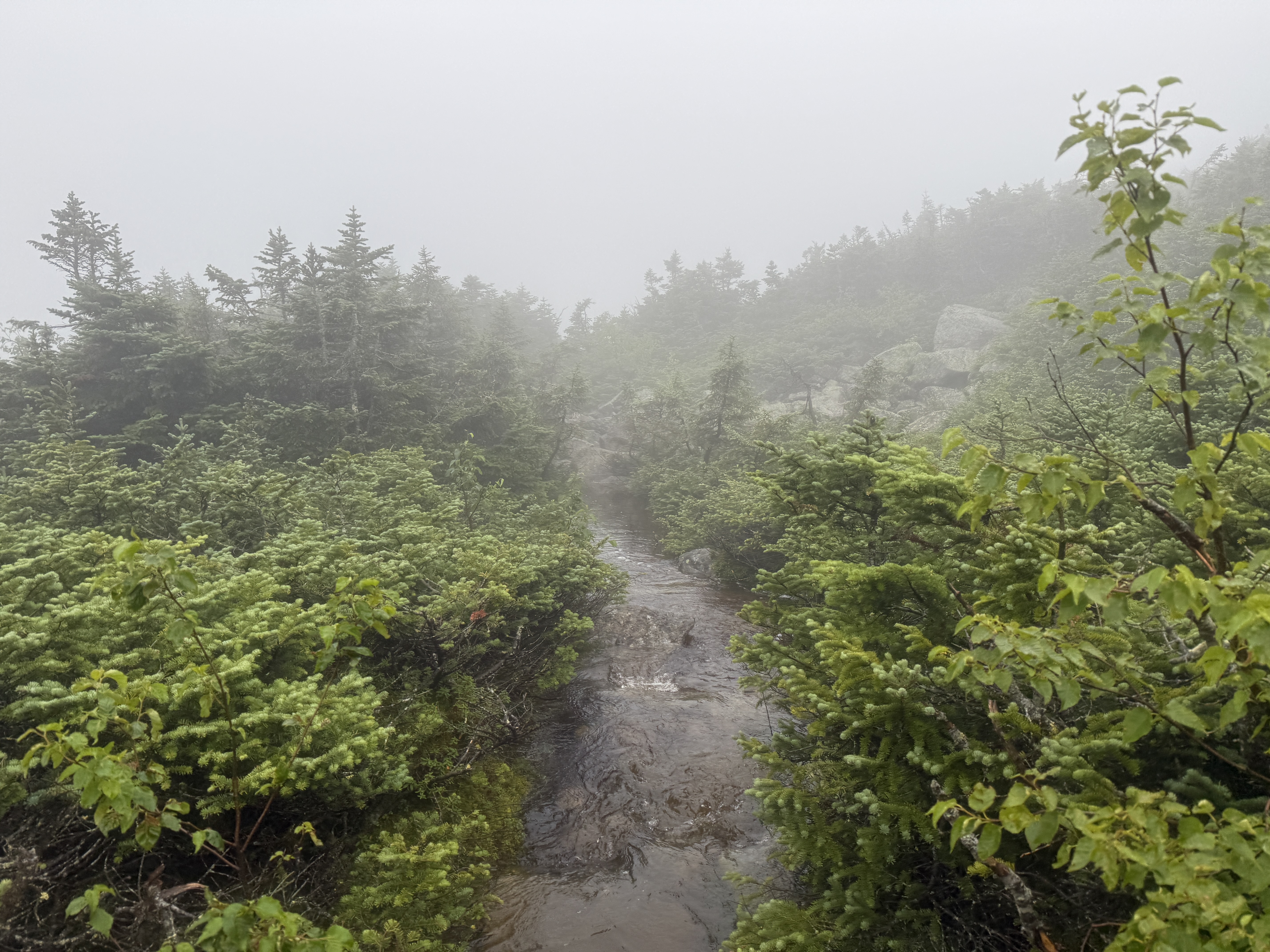
I said earlier that morale was at a bit of a low point? Well, that was a mere local minimum, as it turns out. Just when we thought the conditions couldn’t get any worse, we turned the corner and found the trail completely flooded, with swiftly-moving currents of surface runoff from the intense rain. Since the trail was a narrow rock path through dense trees, we had no choice but to follow the trail, which meant wading through knee-deep water. I guess once you’re soaked all over, you can’t get any more wet, so it wasn’t a huge deal, but I think this might have been the first proper “water crossing” I’ve had to do on a hike, in the sense of being forced to hike through water. Unfortunately, one of our party slipped and fell into the water; naturally, my first reaction was to take a picture, and my second reaction was to ask if she was okay.
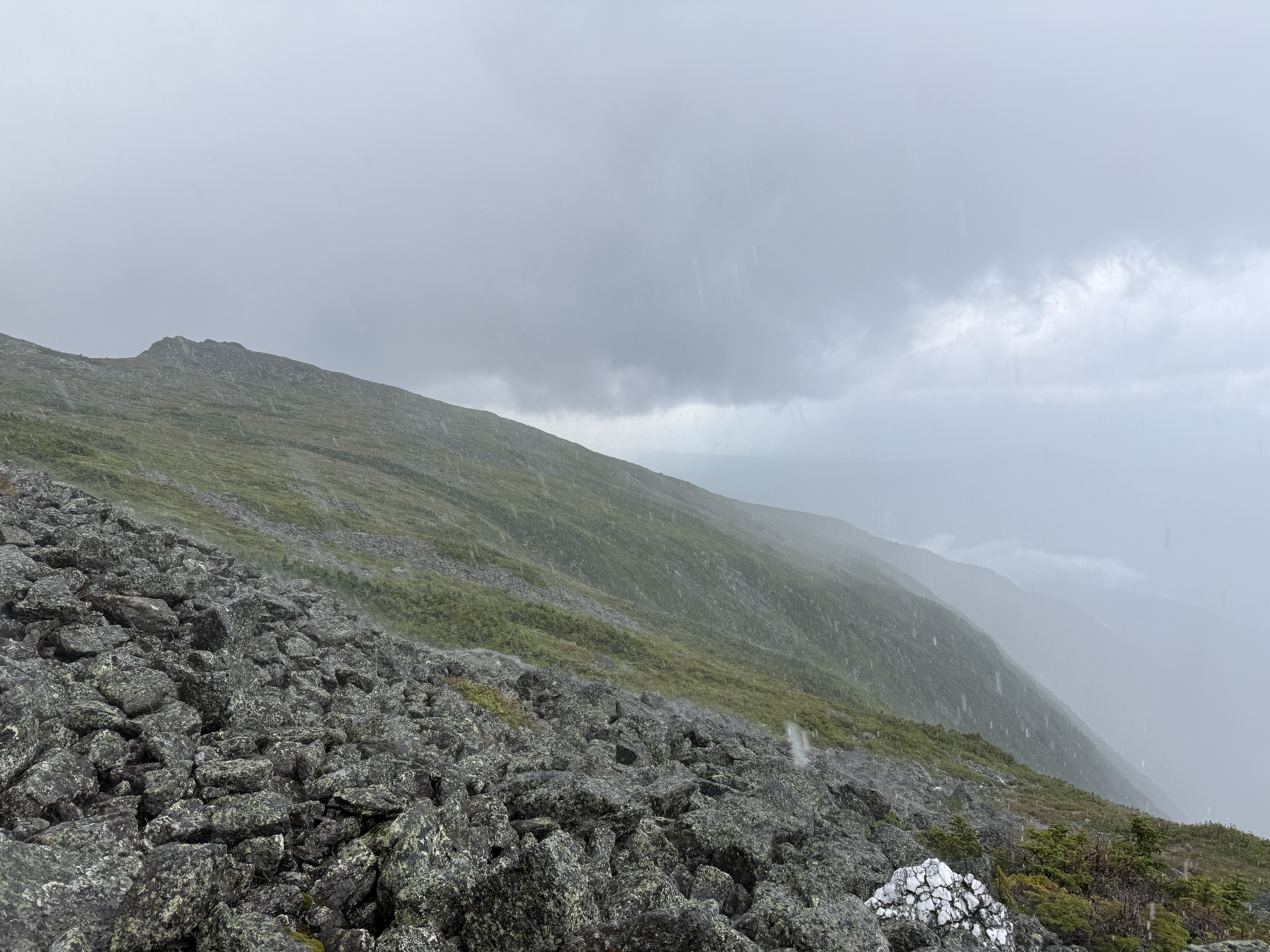
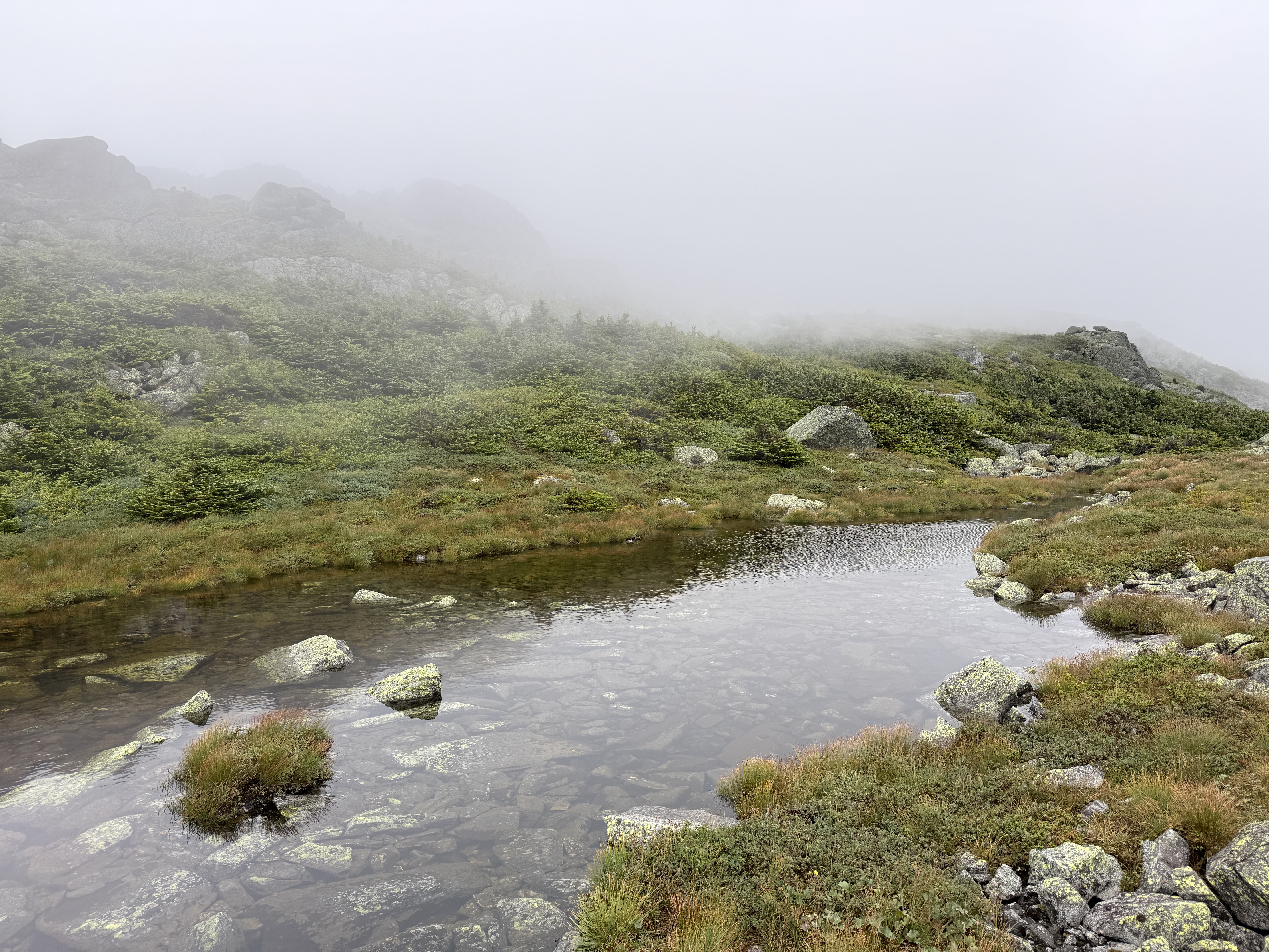
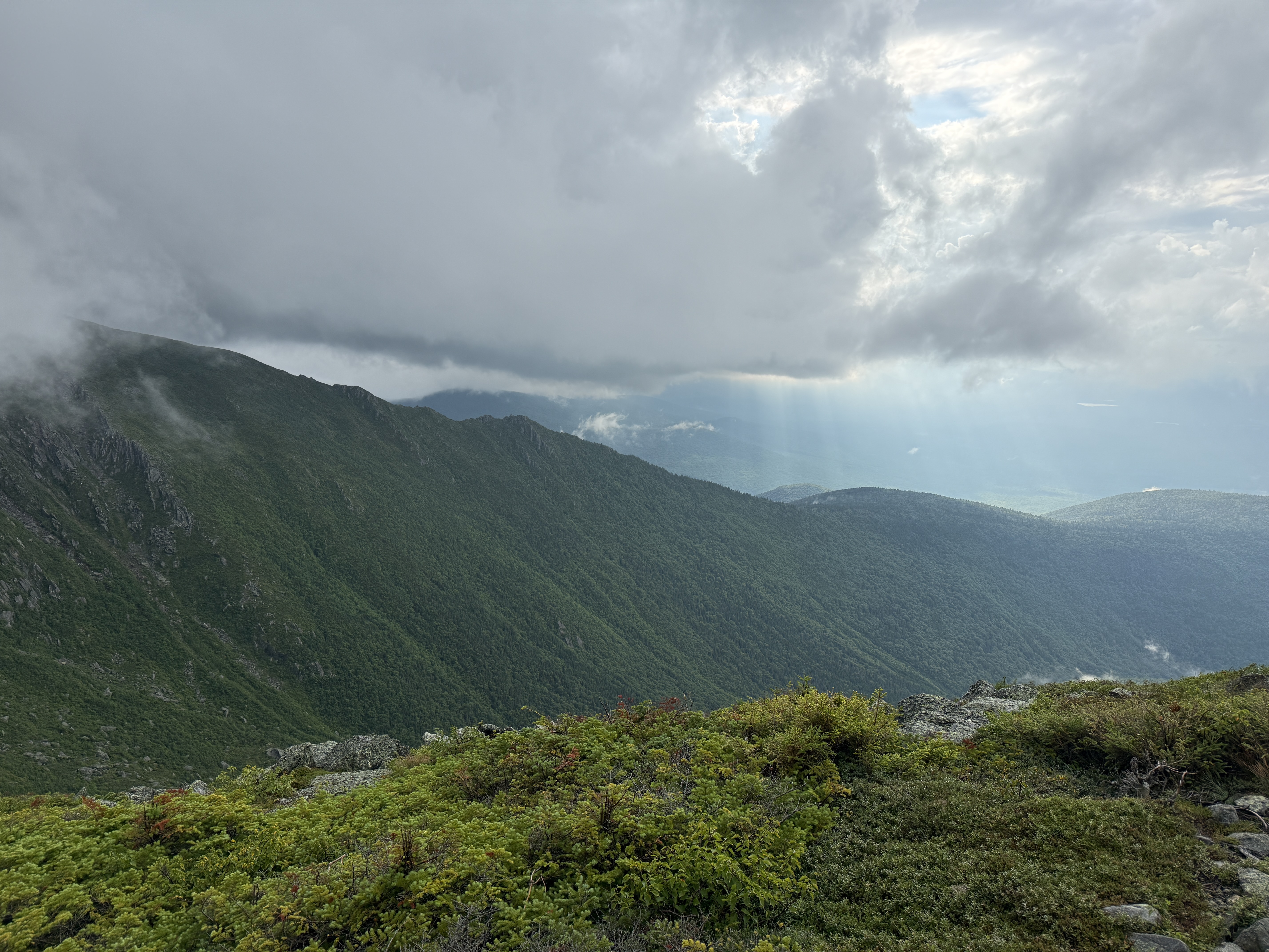
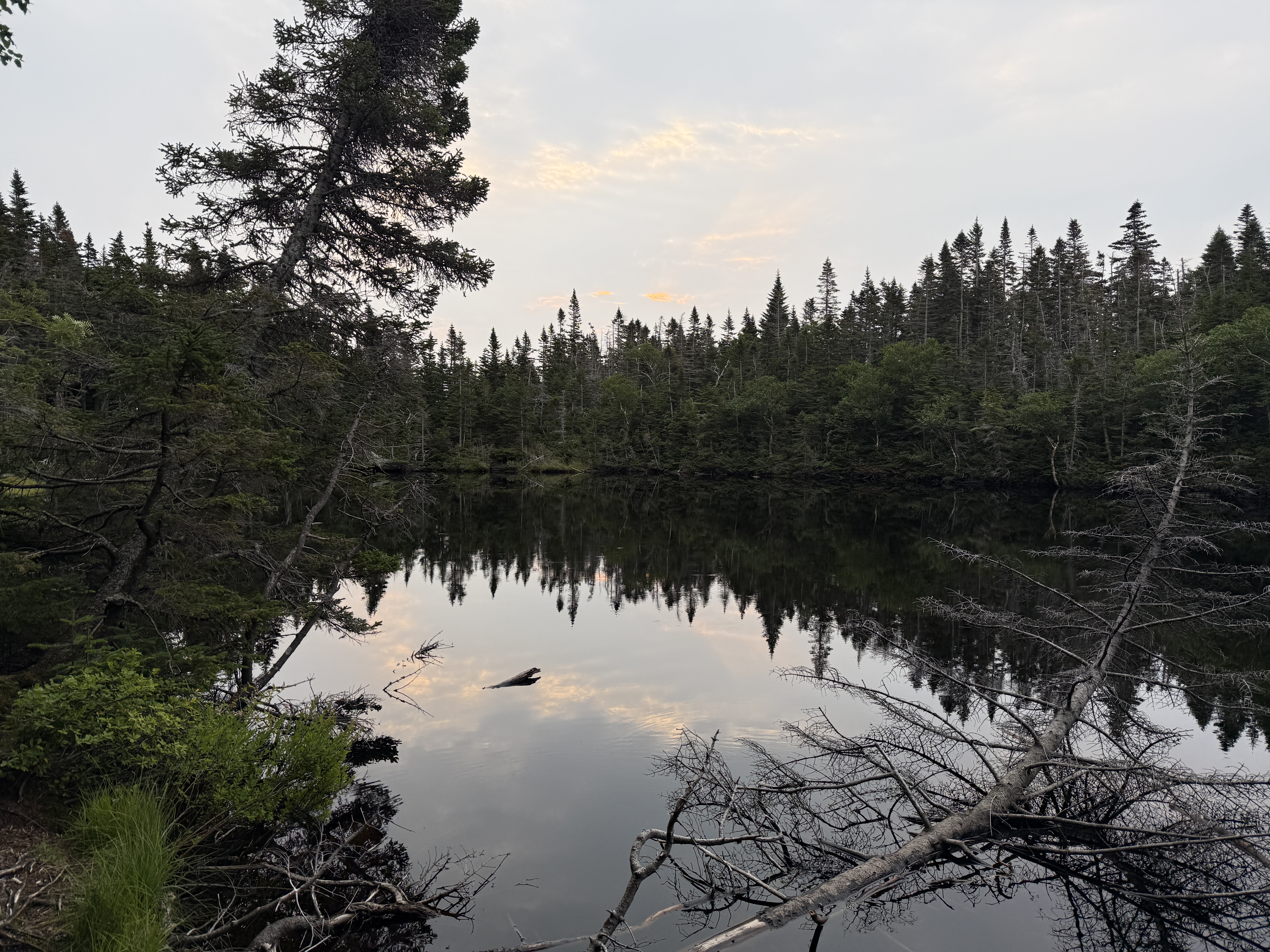
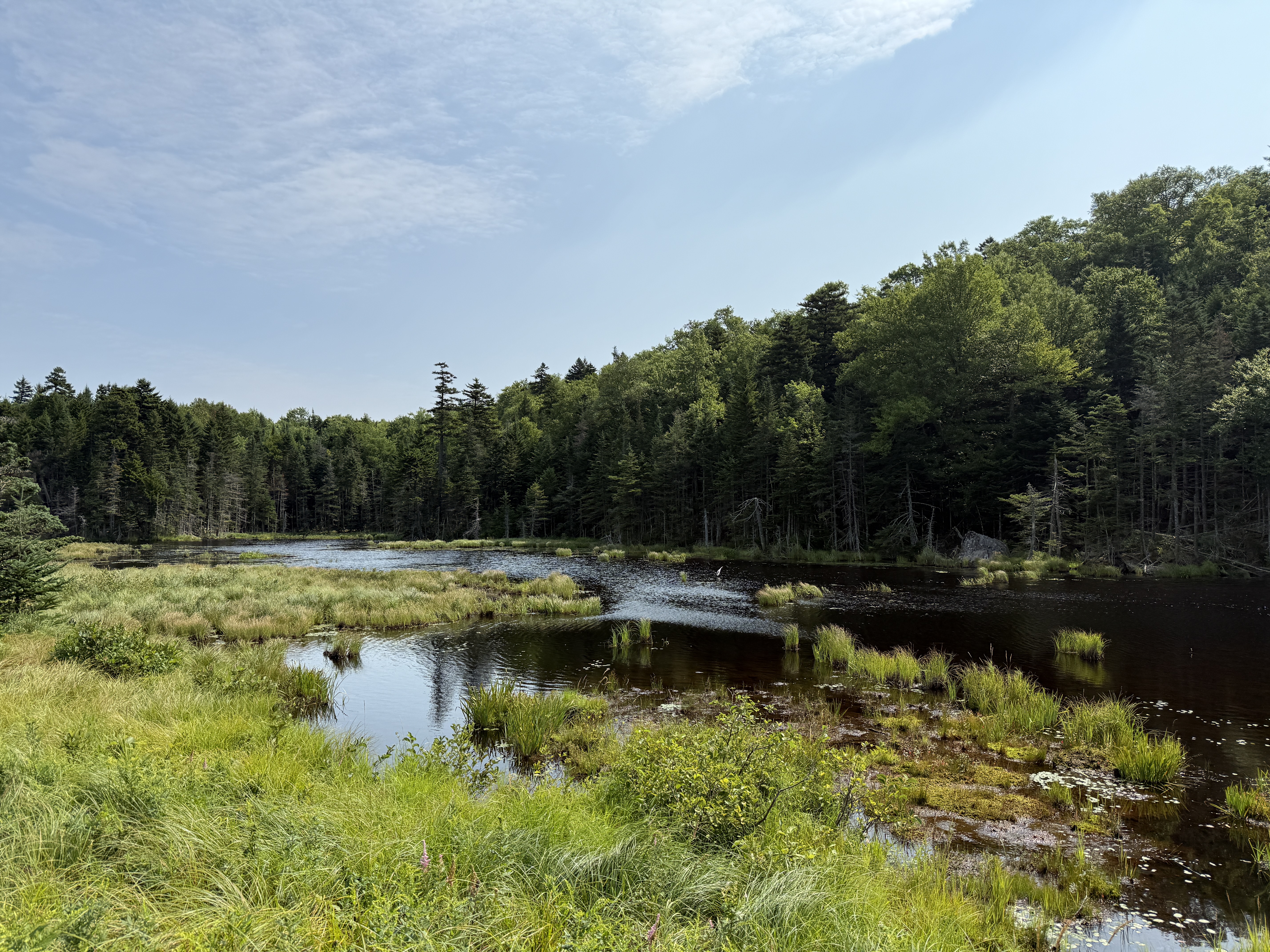
After this harrowing experience, though, things did start to get slightly better. The rain finally started to let up a bit again, and we passed by a serene, mystic-looking lake that I believe is called Storm Lake.7 Again, the fog really enhanced the experience here. The clouds began to roll back a bit, and in the distance I could see rays of sunlight breaking through, looking very regal—or even divine.
I started to get a little optimistic. Besides tent sites, the Perch is equipped with a lean-to; I was really looking forward to having a roof over my head again after that torrential downpour. I reasoned that surely no one else would be stupid enough to be out here hiking this weekend, and so surely we would have the entire shelter to ourselves tonight. Oh, to sleep under a real roof!
Unfortunately, I was very wrong on this point, as I found out when I approached the shelter and heard—to my great dismay—voices emanating from within. I rounded the corner and saw two men already set up inside the shelter. They were evidently surprised to see me as well; I think they were trying to suss out if I was coming alone or if I would be bringing company. I don’t think they were too pleased to learn that I had five friends behind me, but they were polite and offered us some whiskey and weed. For the record, I declined both.
It was clear that we were not all going to fit inside the shelter for the night (another party showed up later as well), so we, as the later arrivals, resigned ourselves to setting up our tents during another one of the brief lulls in the rain. At least there was enough room inside the shelter for us all to hang out and, perhaps more importantly, hang up our wet clothes to dry. Of course, nothing is really “dry” after a downpour in the back country, but it was the best we could do.
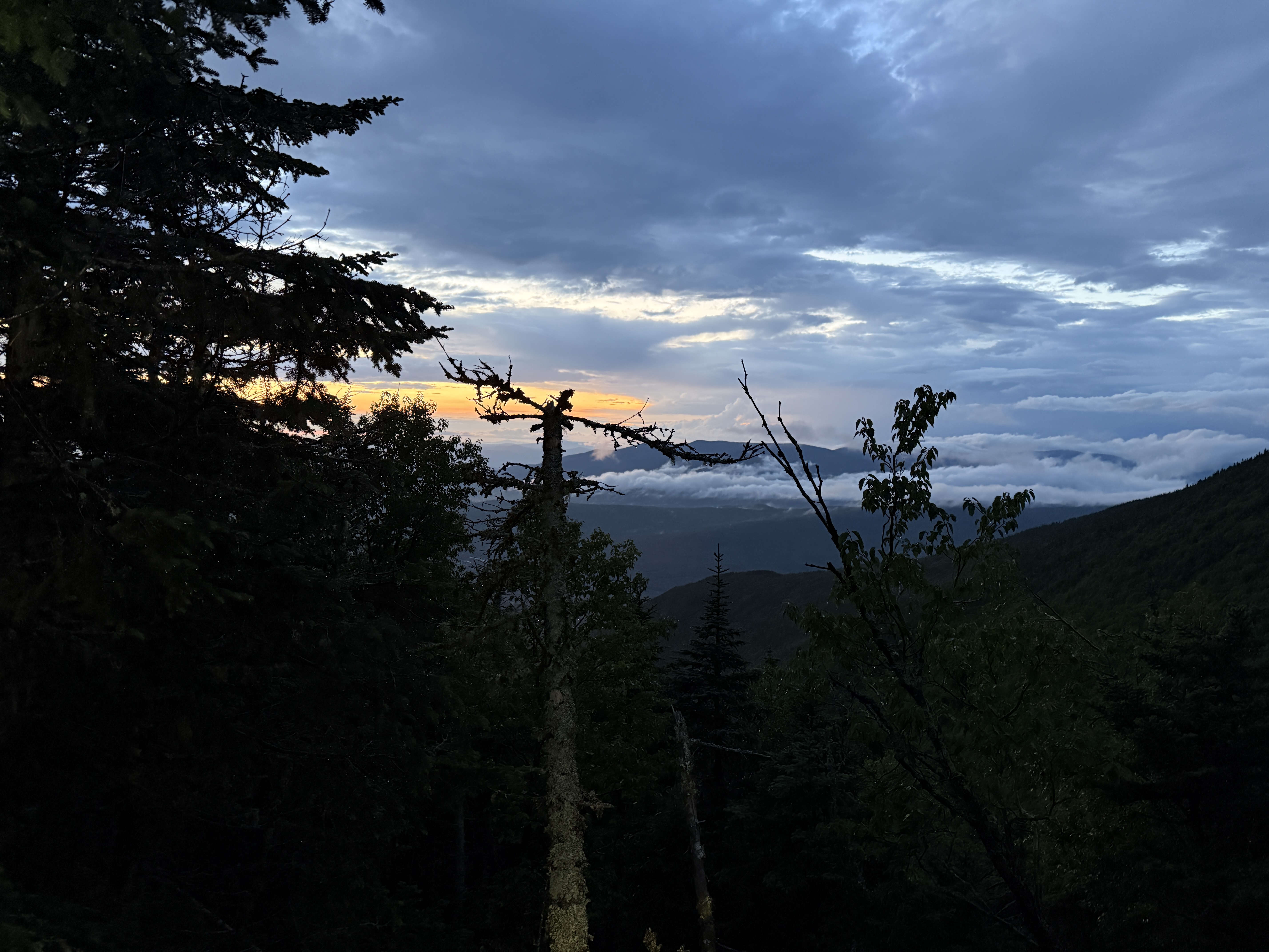
I am always impressed by just how much rain the sky can hold (like seriously, where does all that water come from?), but eventually the rain did stop for good, and we got a chance to cook and eat dinner outside. I do feel a little bit cheated by the sky because the sunset was not as spectacular as I had hoped; normally, I feel like the consolation prize for enduring a big storm is a glorious sunset. We did all our camp chores—filtering more water, washing the dishes, depositing our scented items in the bear box—and reflected on how the day had gone.
It had been a very, very long day, and we now had to make a hard decision: would we continue on with our intended itinerary, or try to bail out on the route somehow? Group morale was understandably kind of in the gutter at this point, and it was clear that if we kept up the pace we were doing, we’d be very hard pressed to finish our entire planned route. After some deliberation, we decided to alter the plan and instead exit the trail on the eastern side of Mount Washington, down Tuckerman Ravine and into Pinkham Notch, rather than continuing south and exiting on the western side of the range at the Highland Center, as we had originally planned. We’d still get to do Mount Washington—the tallest mountain in the range—but we’d skip a lot of mileage that way, which seemed quite prudent at this point. It’s always a tough call having to bail on a planned route; layered on top of the bad weather, it was a pretty rough day. But you know, forsan et haec olim meminisse iuvabit…8
Although our Sunday itinerary was no longer quite as ambitious as it had previously been, it was still no joke. After breaking down camp and donning our still-damp boots (ugh), the first task of the morning was to hike up about 800 feet from the campsite onto the ridge again, to Edmands Col. From there, we’d hike south along the ridge line, passing by Mount Jefferson and Mount Clay before reaching Mount Washington. (We decided again not to summit the former peaks, to save time and effort.)
I wish I could tell you what this section of the trail looked like, but in fact we couldn’t make out anything beyond the dense fog. We met a hiker coming down from Jefferson, who described the experience of standing on the summit like “being on the inside of a ping pong ball.” Navigation was a bit tricky here as well because it was hard to see the trail; we basically just had to go from cairn to cairn, occasionally cross-checking with the GPS just to make sure we were on the right path. Sometimes even the cairns were tough to make out in the distance, but overall it was not too bad.
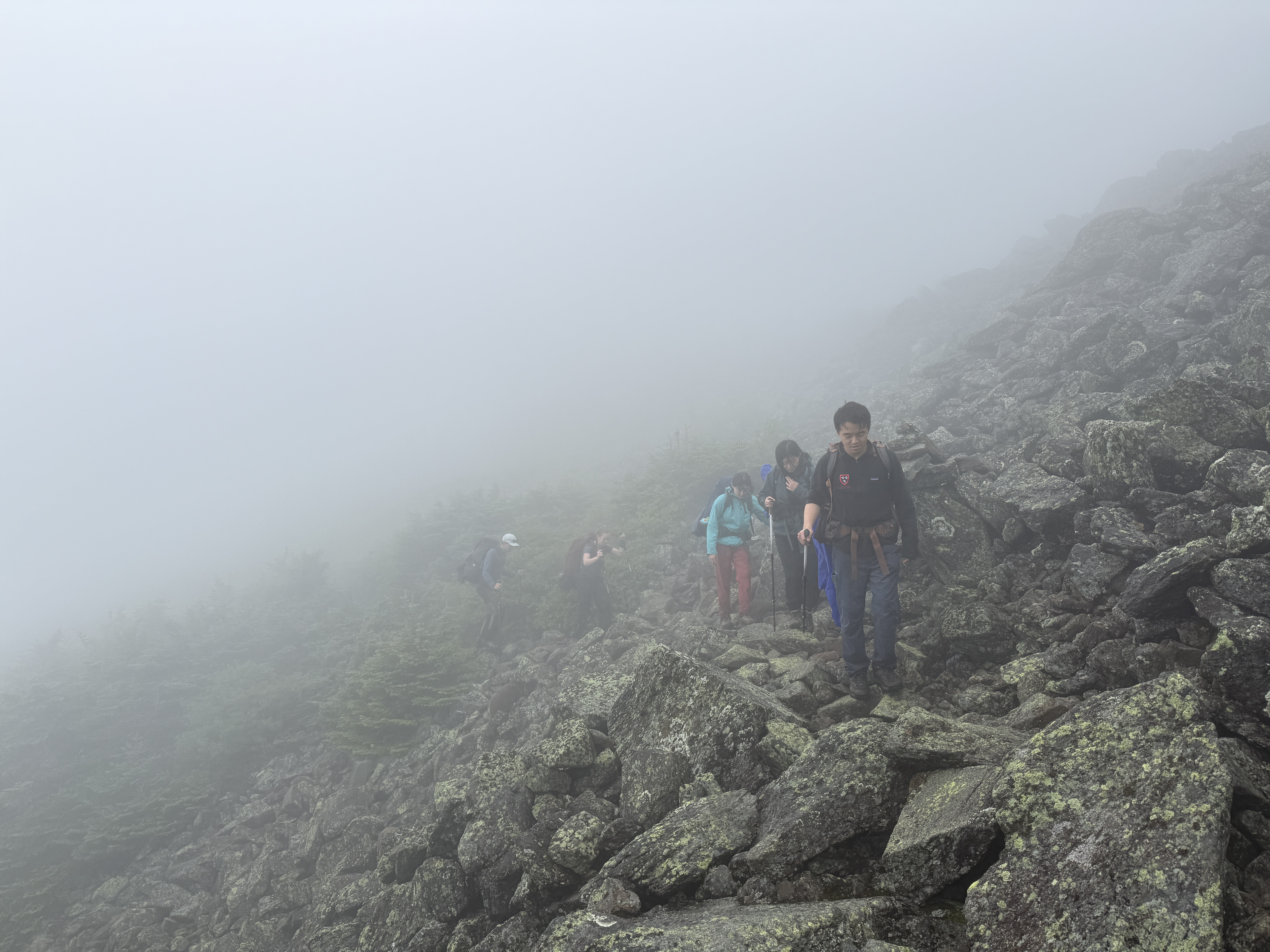
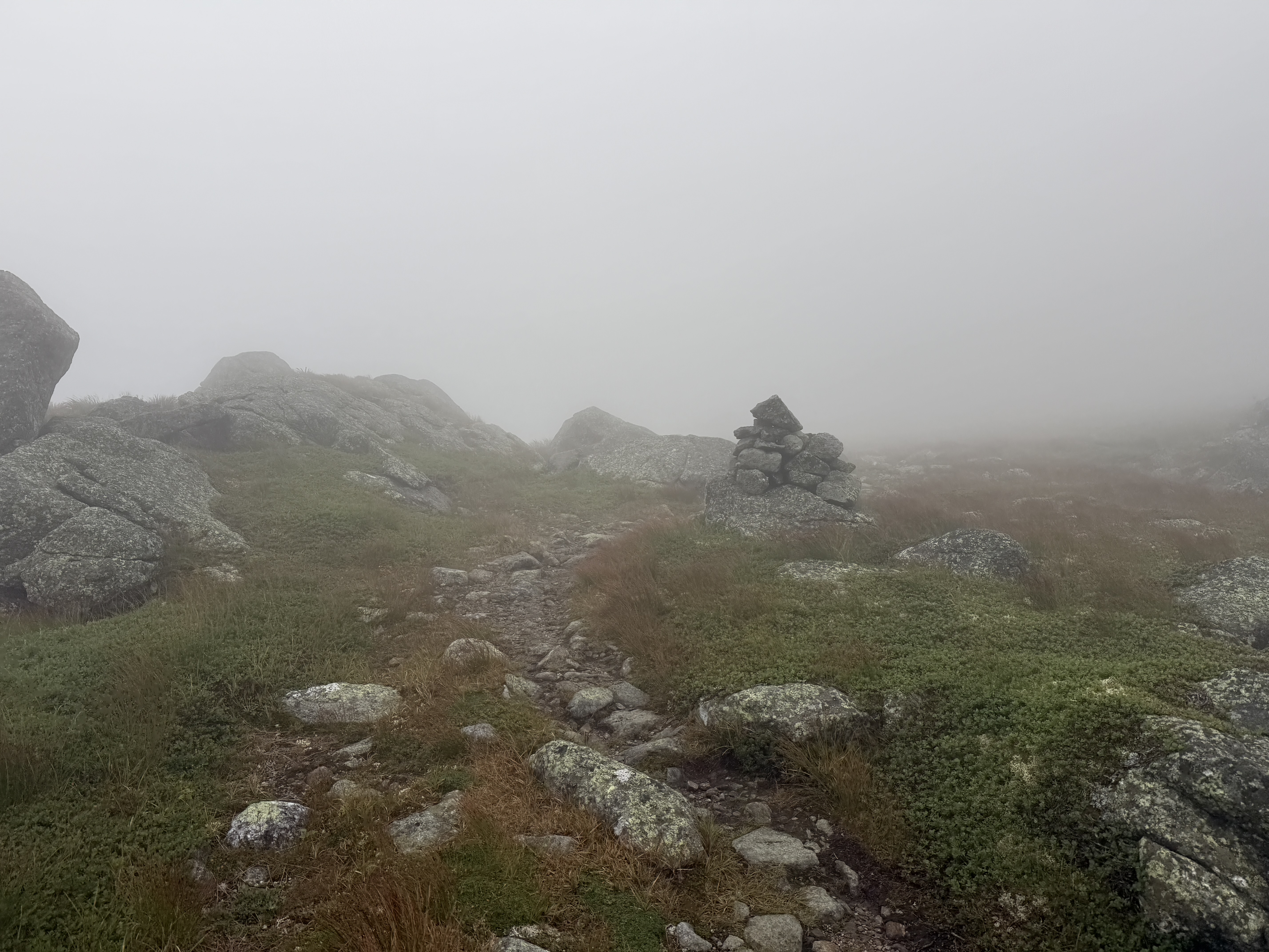
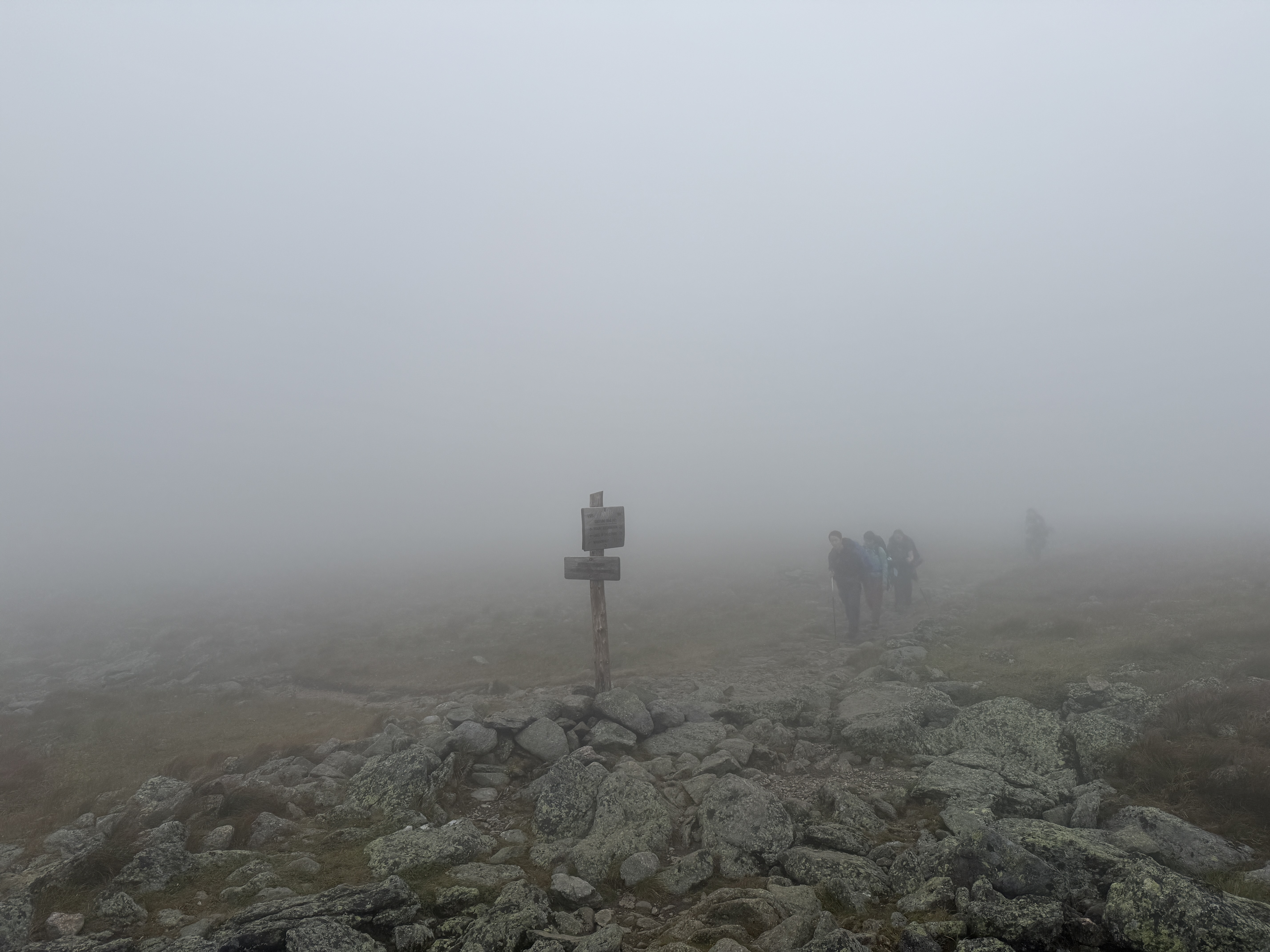
I was having a great time here; the dominant features of the landscape were rock and mist, which as we’ve already established are two of my favorite things—it’s like hiking in a fairy tale, set in some long-forgotten age. It’s what I imagine the Scottish Highlands to be like.9 Plus, although the winds were fairly strong, at least it wasn’t raining like yesterday. The only problem was that it was a bit chilly whenever we stopped for a break, but we countered this by engaging in a rather innovative practice: turning on the stove and cooking a hot meal for lunch!10 I had never tried cooking lunch while on the trail before, but honestly a hot meal does wonders for morale on a cold day.
After lunch, spirits were higher, and we began the climb proper up Mount Washington. After we gained some more elevation, our spirits were further lifted by finally seeing in the far distance the first sign of civilization: the parking lot next to Marshfield Base Station,11 the lower terminus of the Mount Washington Cog Railway, a scenic rail line that goes up the mountain. If you haven’t suffered through a storm in the wilderness, I think it’s hard to describe just how incredible it is to see buildings and parking lots again; they carry with them the promise of normal life, and especially of a warm shower, a dry change of clothes, and a mattress. What a change of attitude a mere square of asphalt can bring in the right circumstances! It brought to mind a famous classical quotation—as Xenophon’s Ten Thousand, weary after a long backpacking trip, are reported to have cried out on the mountaintop upon sighting the parking lot in the distance, “The lot, ah! The lot, ah!”12
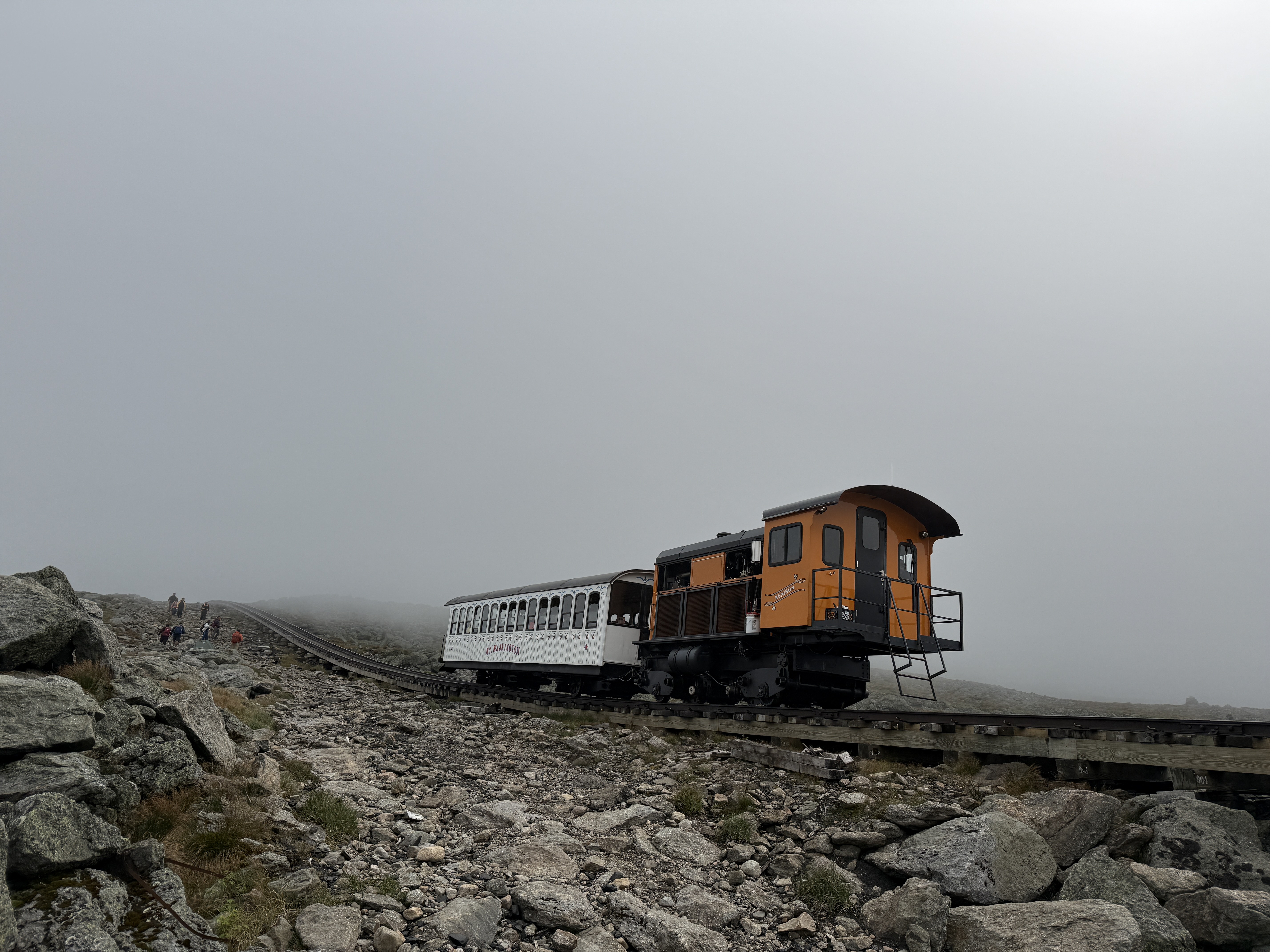
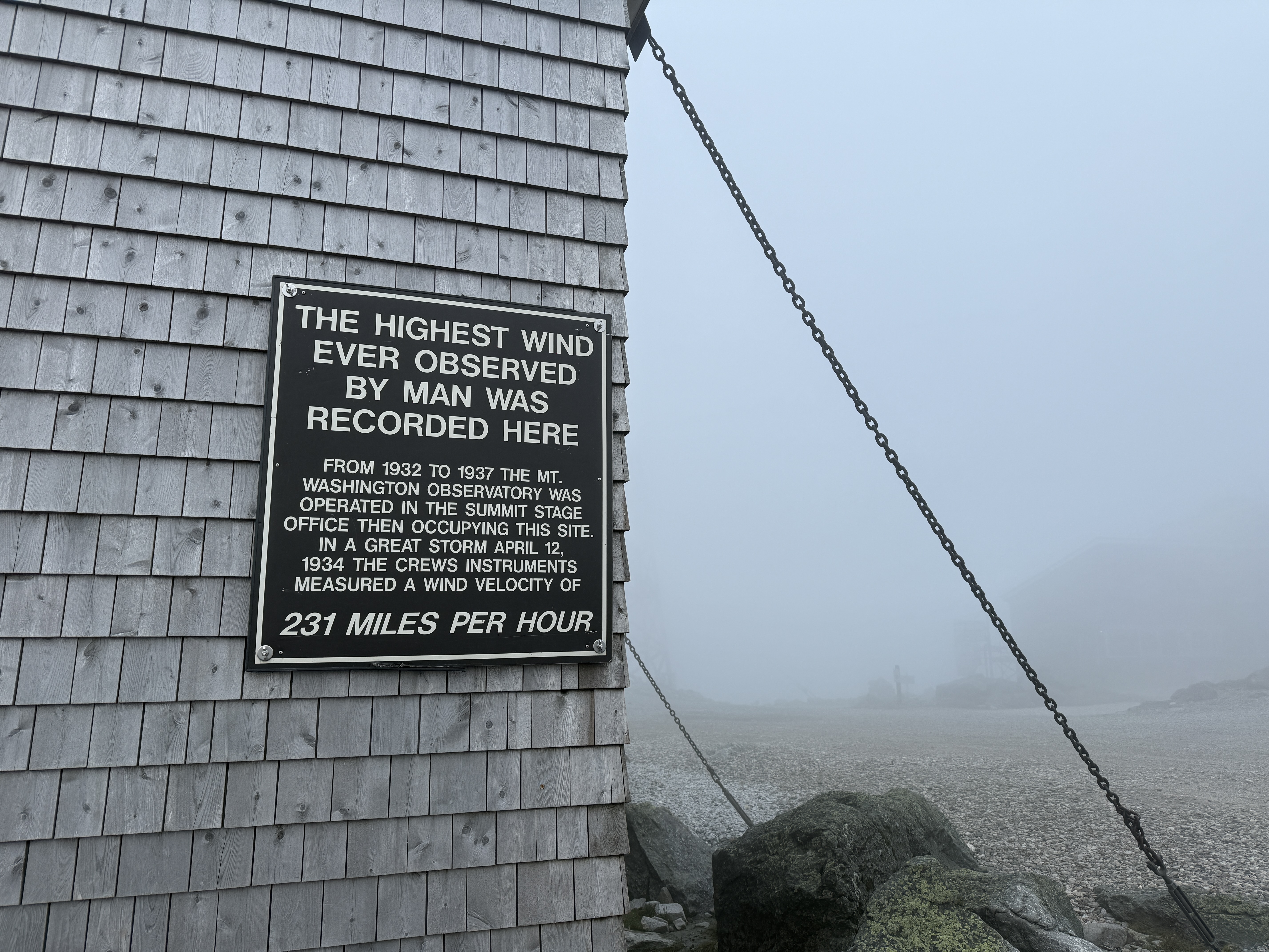
The last bit of the approach to the summit was parallel to the scenic railway itself, and we were passed by several colorful train cars ferrying passengers to and from the summit. Soon enough, we ourselves were at the summit, where we rested for a while in the positively deluxe observatory visitor center. The summit of the mountain is reachable by train and by car,13 and it houses a permanent meteorological observatory; as a result, it is heavily developed, and the visitor center features gift shops, hot food, and even a post office! Taking over a table, we laid out our gear to dry and enjoyed a nice, long break after a harrowing day and a half of hiking. You know, this experience really made me understand why those original hunter-gatherers decided to settle down in cities and start civilization, even if the Agricultural Revolution and its consequences have been a disaster for the human race.
Unfortunately, the fog meant that we could see absolutely nothing of the view from the summit, but I am told that it is quite scenic. Still, there was plenty to do there; I went down to the thru-hiker pack room and amused myself by reading old log book entries left by thru-hikers in years past. I deeply sympathized with one poor soul who simply wrote, in all caps, “it’s cold and I can’t see anything.” What a mood.
I also checked out the little museum and attached gift shop, where I had an absolutely brilliant idea for a “scientific experiment.” You see, earlier in the day, I had been bemoaning the fact that without any sunshine or the possibility of a campfire, it was very unlikely that I’d be able to dry off my boots during the trip, and so I’d resigned myself to hiking in damp boots for the rest of the weekend. But then in the gift shop, I happened to spy some hand warmers for sale, and it occurred to me that I could simply make my own heat source by stuffing them in my boots overnight. With any luck, they’d be dry—or at least significantly drier—in the morning. I was very excited to try this that night.14
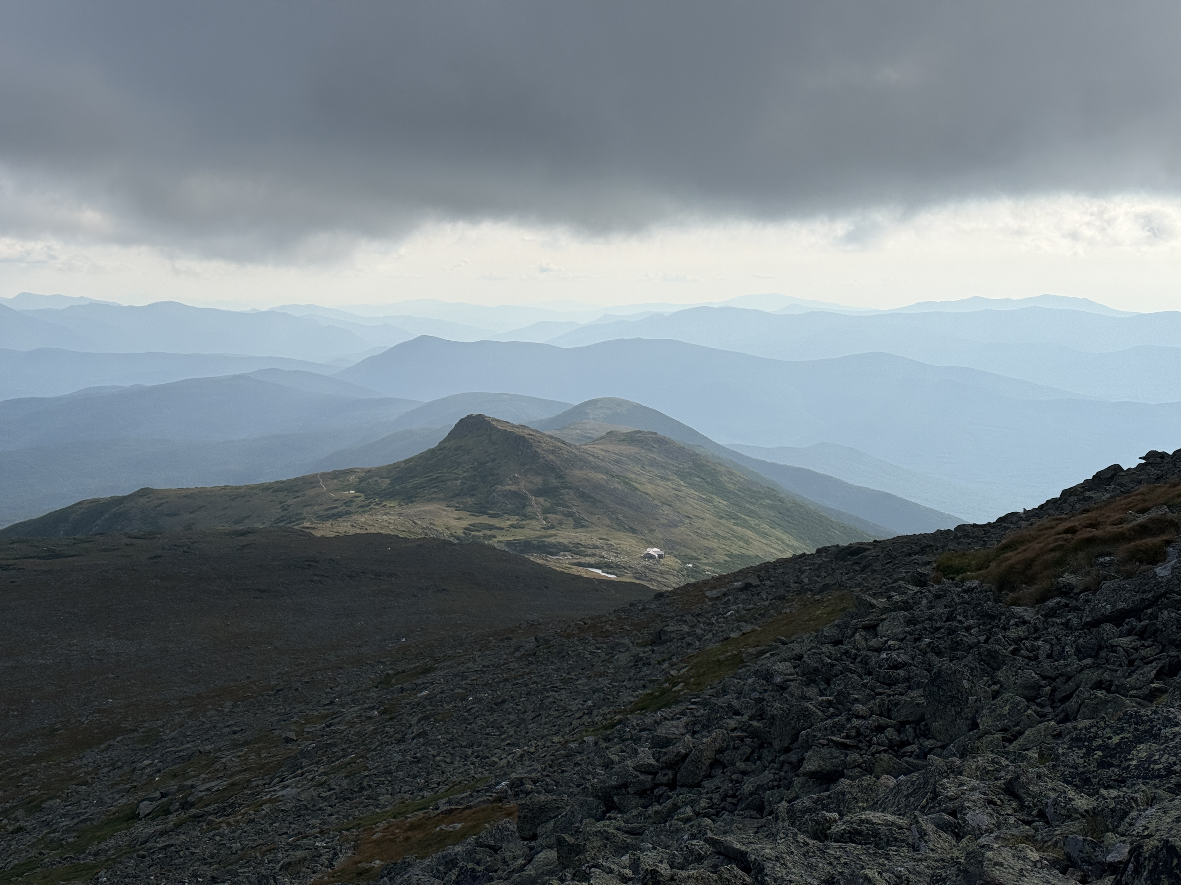
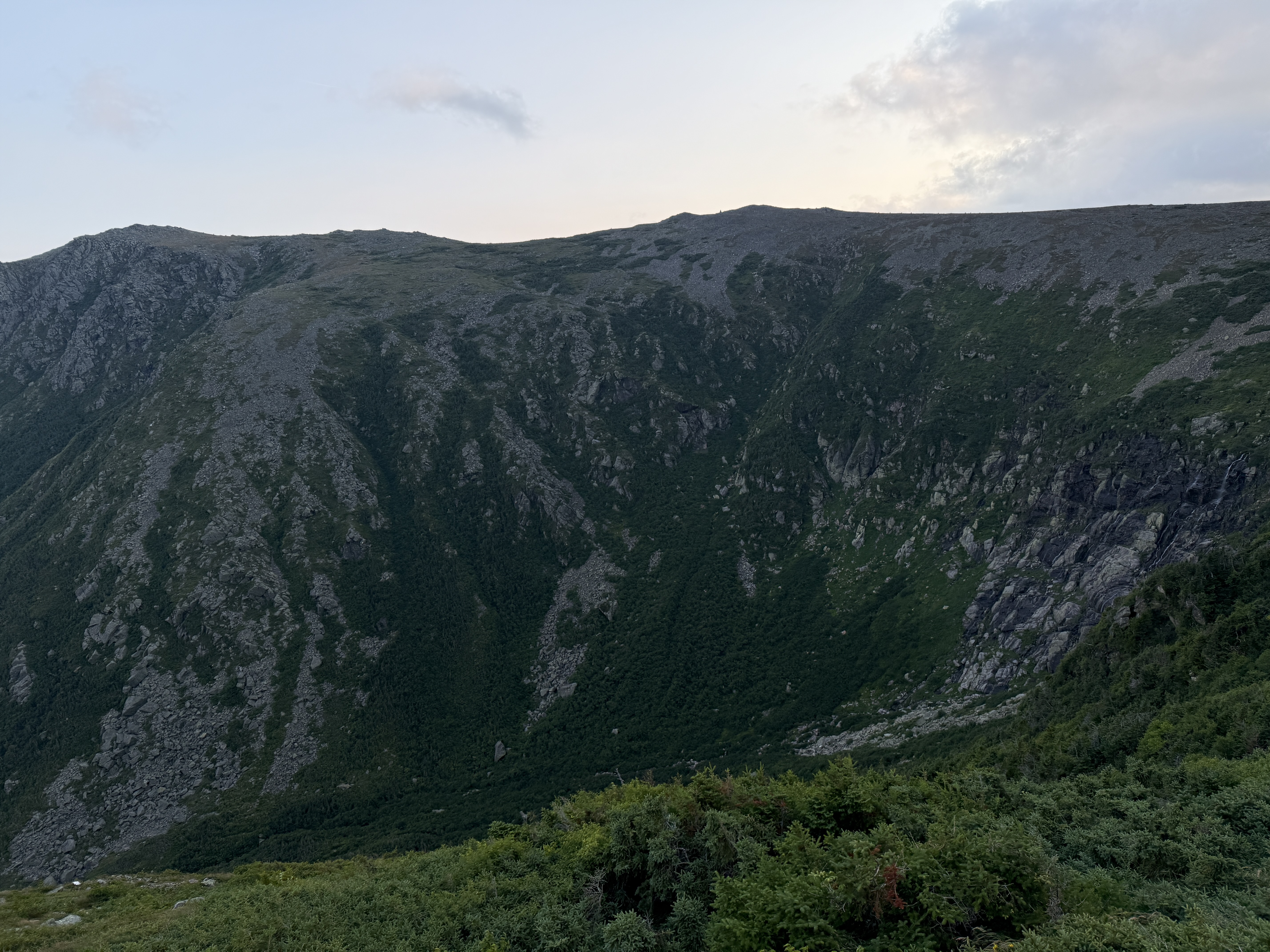
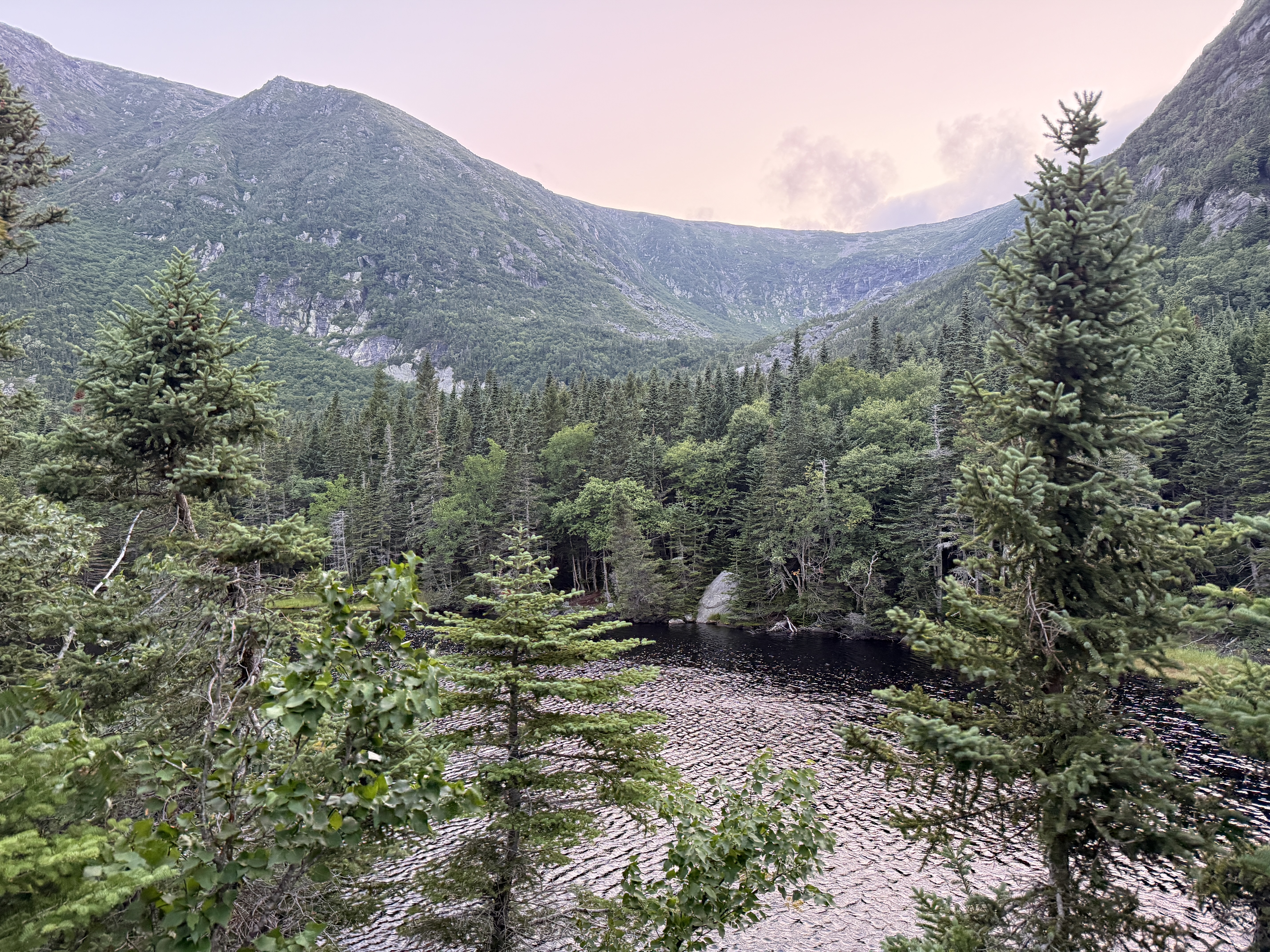
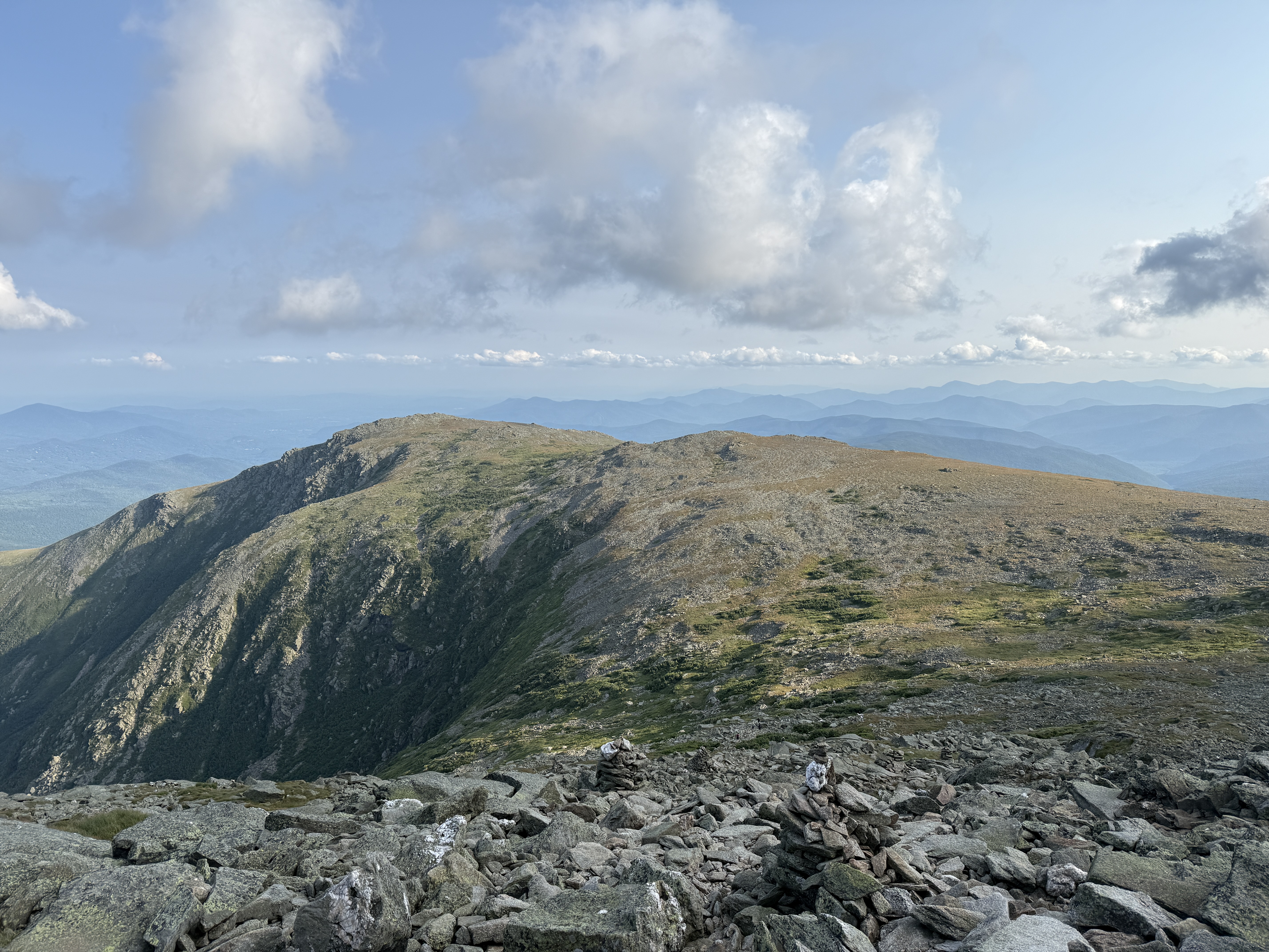
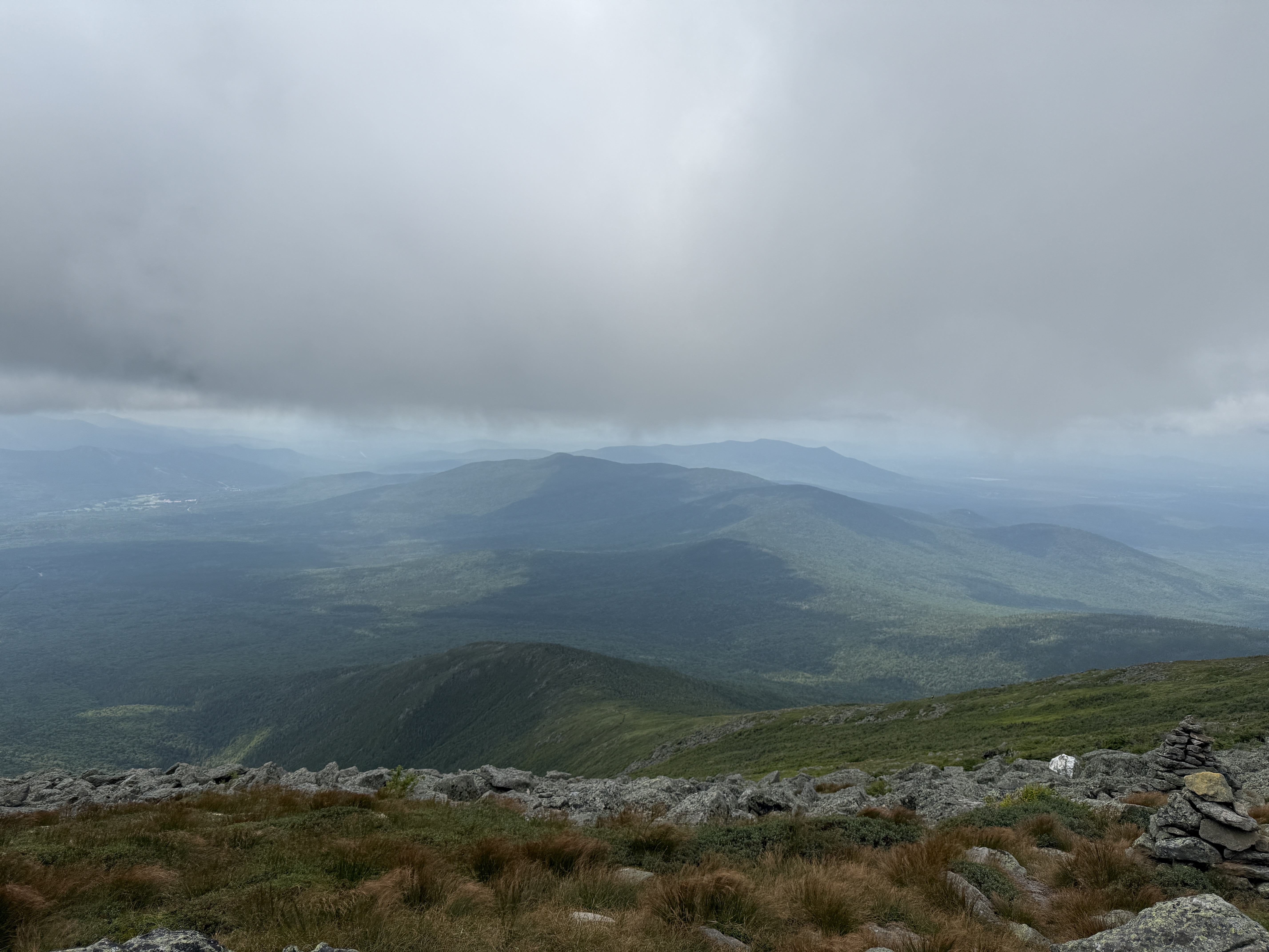
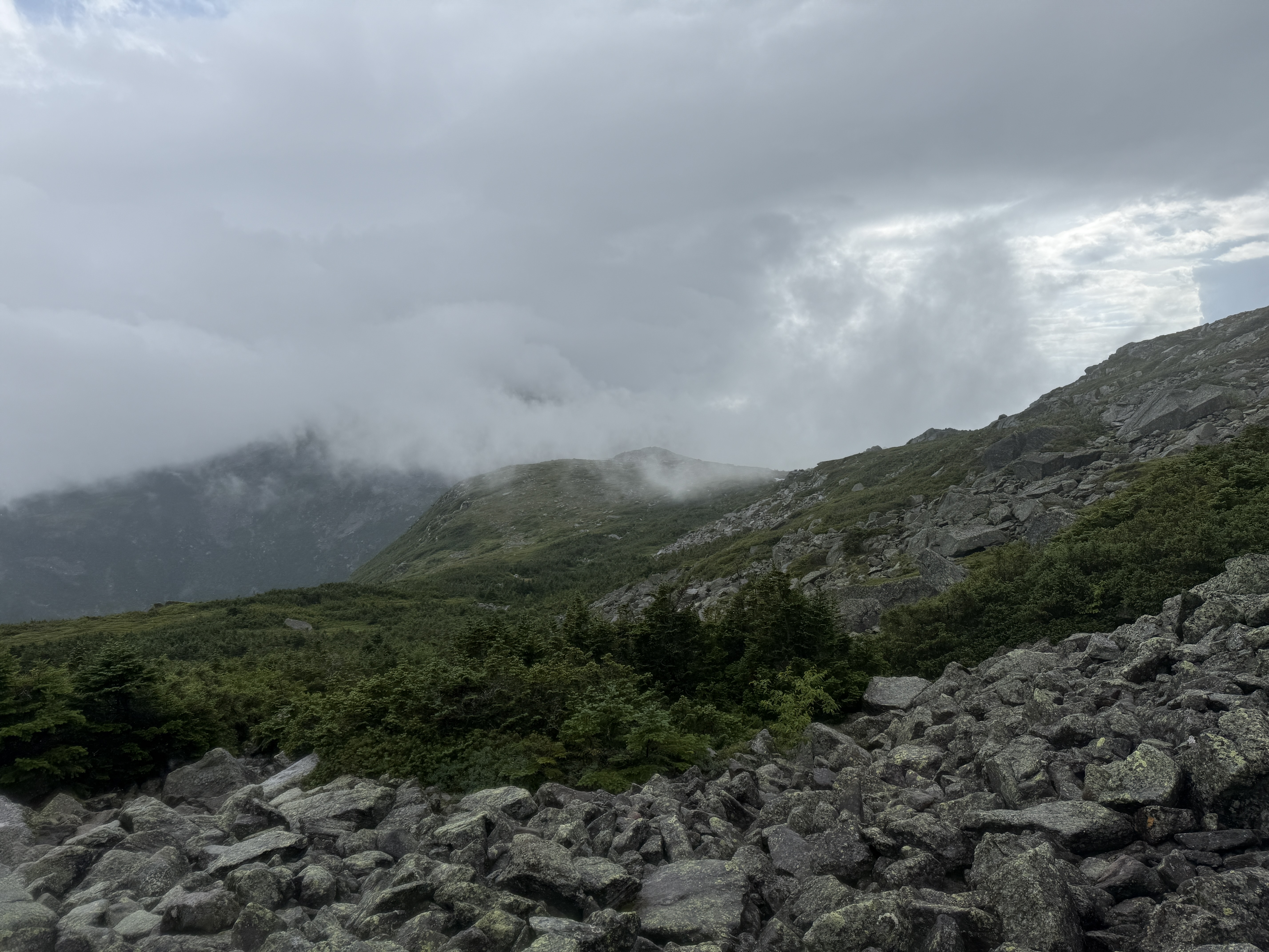
We had at this point lingered at the visitor center for quite a while, and it was not until around 4:30 pm that we began to descend from the summit. We had been hoping that the clouds would clear and let us enjoy the view a bit before we left, but this eventually proved to be a futile hope, and we were forced to give up and head down toward our intended campsite for the night, at the AMC Hermit Lake Shelters. As luck would have it, just as we started going down, the clouds began to clear, and we were treated to some absolutely stunning scenery in the alpine zone on the way down: hulking gray massifs coated in patchy green stubble, made brilliant in the late afternoon light. Often when I’m on these trips, I’ll take a picture and instantly know that it’s the one, the album cover photo for the trip. This time, I knew immediately that it was the view of Boott Spur while coming down the south side of Mount Washington.
In general, the area was quite scenic; to the southwest, we could make out the AMC Lakes of the Clouds Hut, in the little notch between Mount Washington and Mount Monroe. I was a little sad that our route wouldn’t take us by the Lakes of the Clouds, because I am a famous alpine lake lover, but I can’t really complain too much, because we were instead treated to the glorious Tuckerman Ravine.15 We had to descend into the ravine in order to reach our campsite; we stuck to the easier northern route, passing over Lion Head before dropping down steeply into the valley floor.
Here I will say that it became evident that we had stopped at the summit for a bit too long; we started running short on daylight, and it was not obvious that we’d be able to make it to the campsite by nightfall if we continued going at the pace we were going. I think tensions in the group began to run a bit higher, with some wanting to push harder to make it down with sunlight remaining and others wanting to take it slower for safety, as the route was quite steep. The compromise ended up being a split, with a faster party heading down to the campsite to find a spot before dark, and a slower party that would take their time.
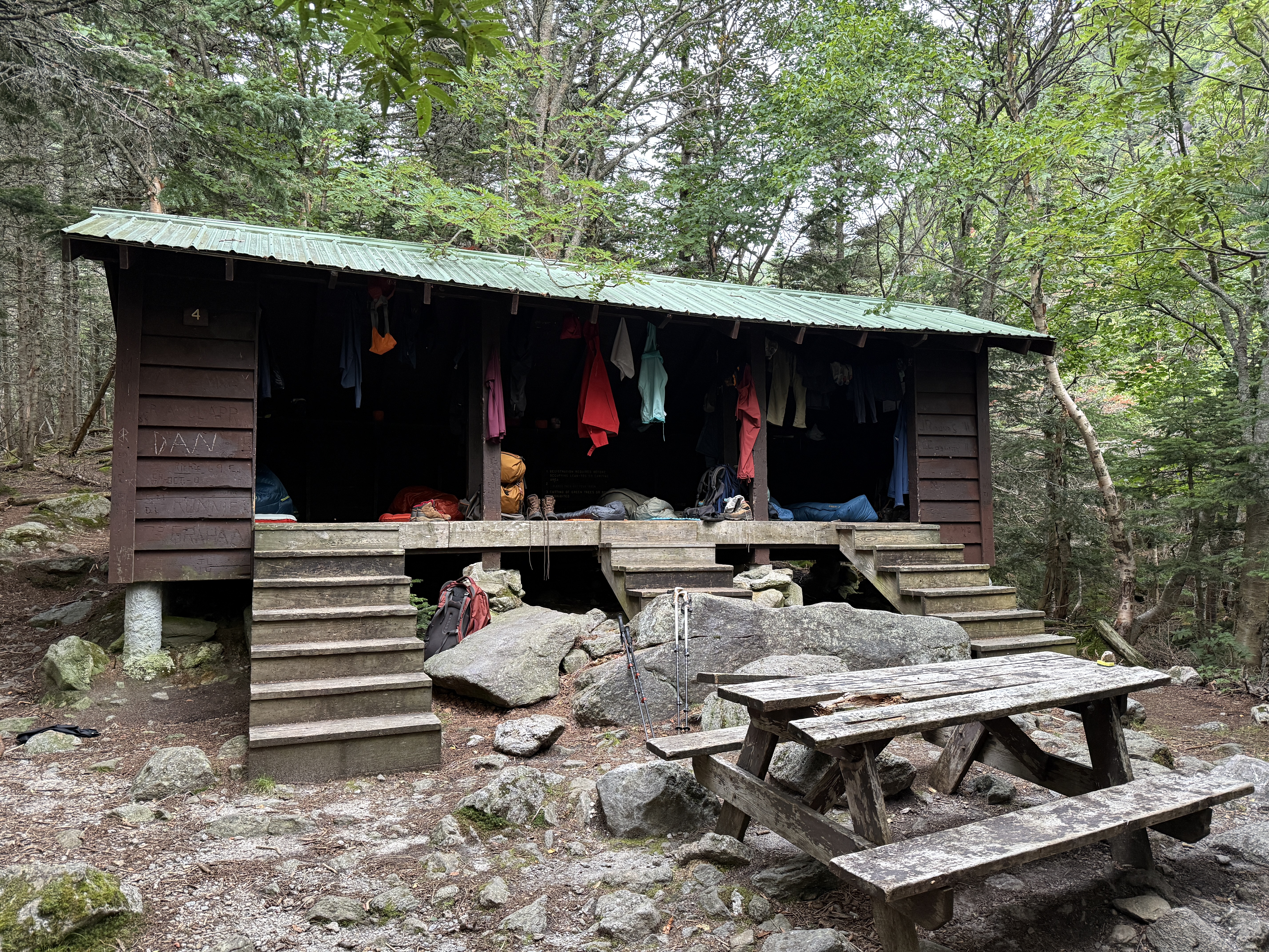
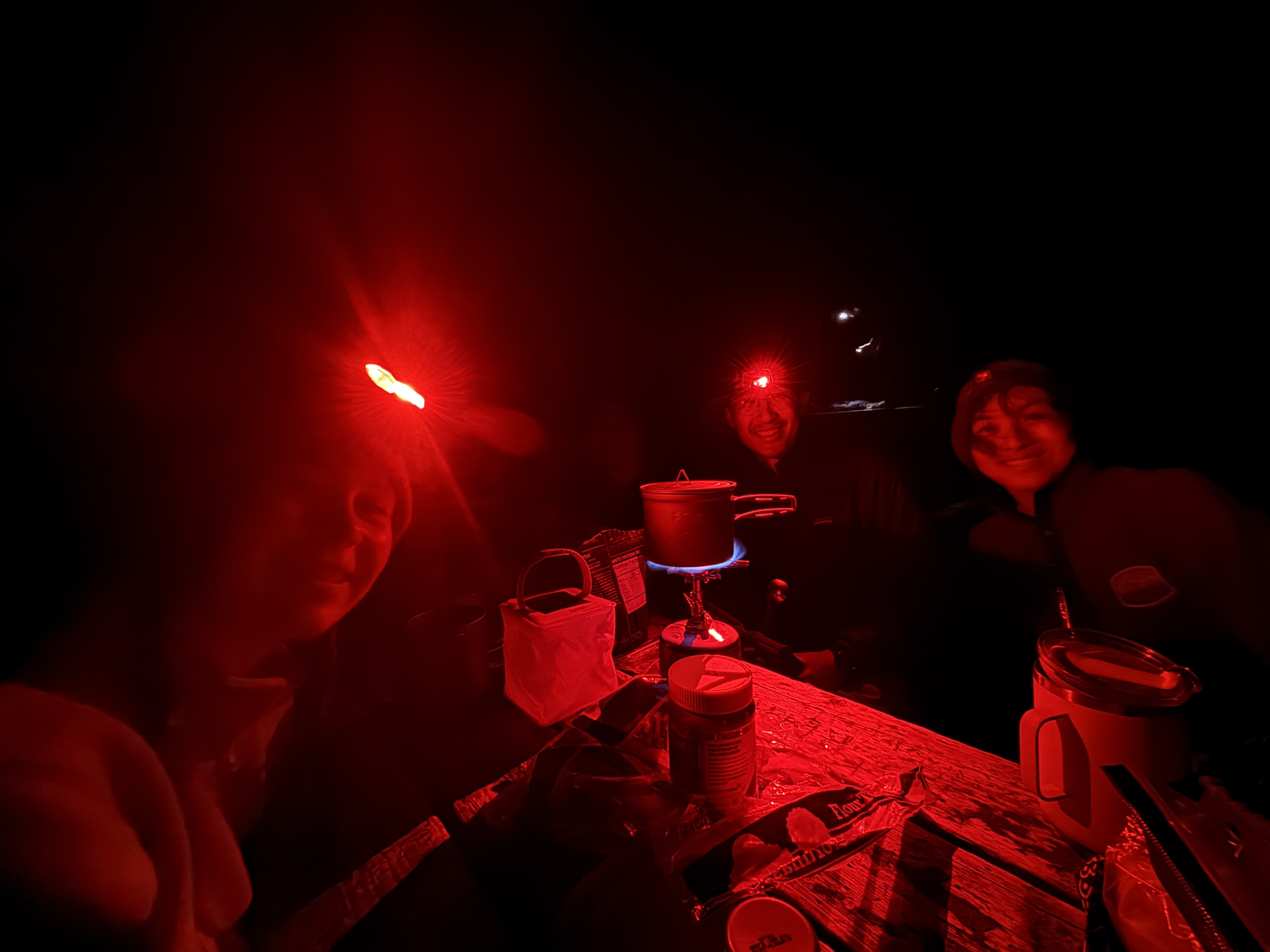
Both groups made it down the mountain safely, and we were rewarded with what I can only describe as an amazing hidden gem. I was semi-seriously considering not mentioning our campsite for Sunday night because I want it to remain a secret, but I figured that if anyone manages to read through all these words, they deserve to know about Hermit Lake. Besides the namesake lake, the campsite featured plenty of space (each group got their own lean-to!), a little caretaker’s cabin in a clearing, a pump dispensing potable water, and—drum roll, please—a flushing toilet!16 This was truly the peak of backcountry luxury. We had plentiful space to spread out and hang up all of our gear to dry, and we had a nice little picnic table to cook on.
As we were setting up camp, Kevin produced yet another miraculous device out of his bag: a collapsible electric lantern, which turned out to be really handy for cooking and eating at night. I continue to be amazed at the marvels that he had tucked away in there; who can plumb the depths of Kevin’s pack?17
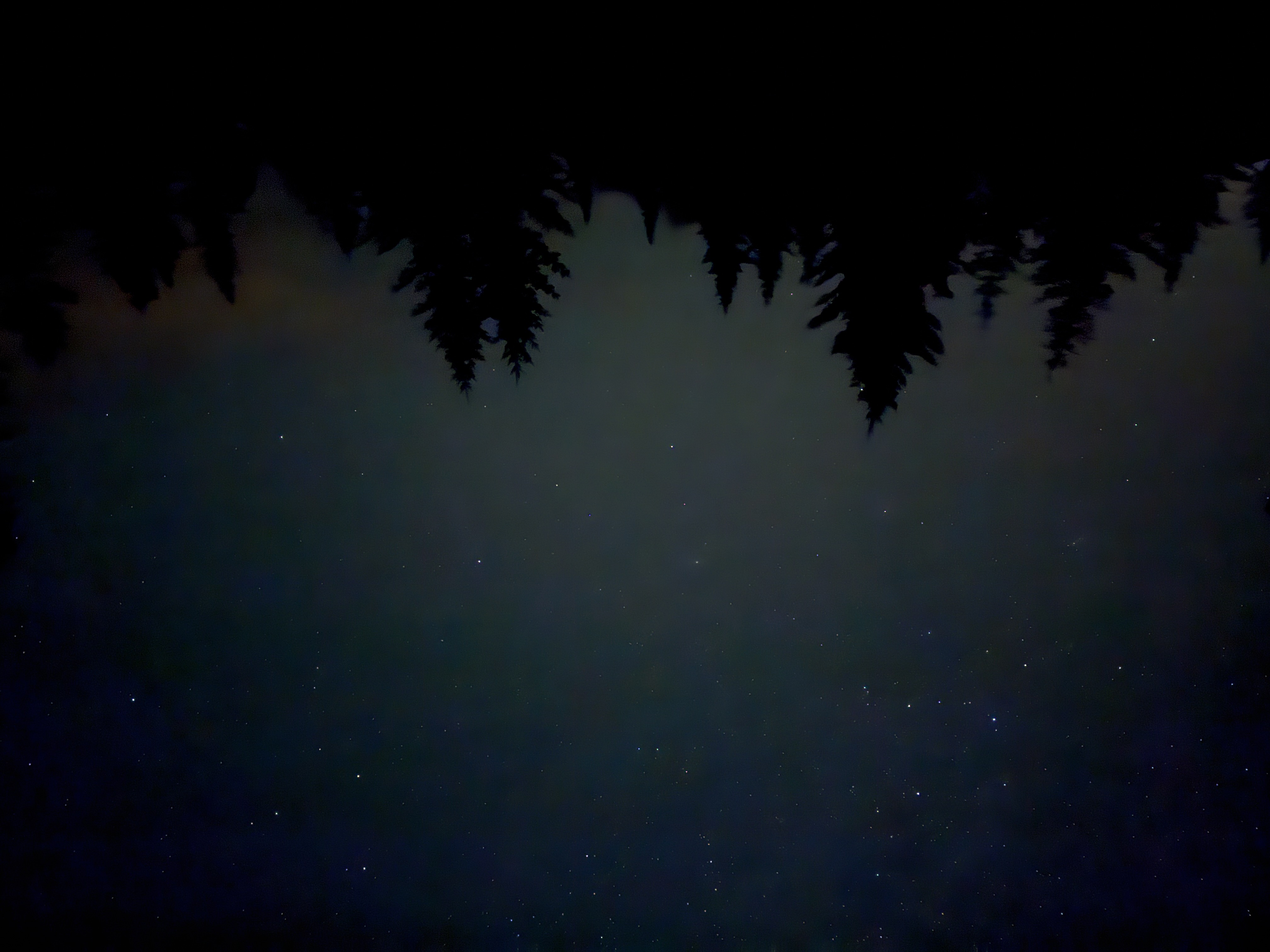
Anyway, after the stormy weather all weekend, we were finally treated to some clear skies, and as Marissa and I were fetching water, we were treated to a spectacular night sky in the clearing by the caretaker’s cabin. We decided to just lie down on some of the benches there and do some stargazing for a bit. Although I’ve seen the Milky Way several times already, the sight of that streak of glitter paint glistening above,18 suspended high in the firmament, never ceases to take my breath away. There’s a type of primitive, childlike wonder that I sometimes wish I could indulge in more frequently these days; it’s something that’s most easily brought out when looking up at the constellations. You can’t spend all your life dreaming away, of course, but it’s important to look up every once in a while.
I feel like I never sleep that well when backpacking; I always end up waking up fairly early. I woke up early on Monday, at about 6 am, and first checked in on my hand-warmers-in-boots experiment. The verdict: my boots were still not totally dry, but they definitely seemed a lot better than yesterday. Of course, without a control group, it was impossible to say how much of the improvement was attributable to my novel intervention, but I will just claim all the credit for it. While waiting for everyone else to wake up, I also took a little stroll around the campsite, doing a lap of the lake. I said hello to the party at the neighboring campsite, who turned out to be the same people we had met at the Perch the night before.
After breakfast, it was time to make a plan for the day. Due to our modified itinerary, our hike for the day was extremely short and chill, which was good. There was, however, one wrinkle: we were now exiting the Presidential Range on the eastern side, at Pinkham Notch, whereas we had parked our car at the Highland Center in anticipation of exiting on the western side. How would we get back to the car?
The plan was that Kevin and I would hike on ahead to try to reach Pinkham Notch as fast as possible; from there, I’d take the AMC Hiker Shuttle to the Highland Center in order to pick up the car, driving back to Pinkham Notch to pick up everyone else. Doug, Lindsay, Marissa, and Karena would start a bit later, meeting up with Kevin at the Pinkham Notch Visitor Center. To get there, the caretaker at Hermit Lake actually advised us to take an old ski trail; it wasn’t marked on the map, but he said that it’d be faster and more straightforward than the official trail.
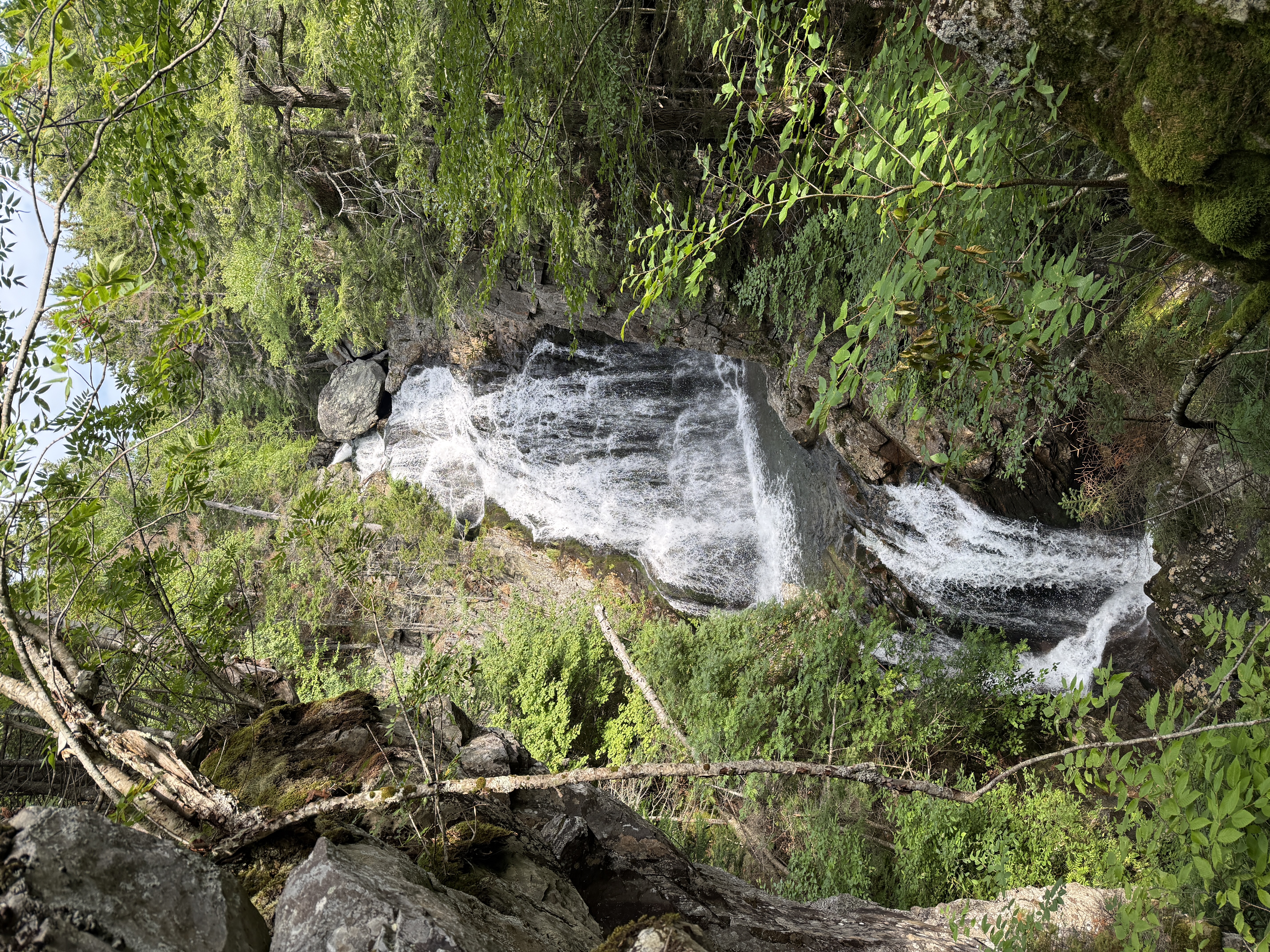
The hike itself was pretty non-eventful; after the events of the weekend, it was a pleasure to have a non-eventful hike downhill on a gentle slope in fair weather. The highlight of this trail was Crystal Cascades Falls, an impressive waterfall about 0.3 miles from the trail head. After that, we arrived at the visitor center, very much glad to see the building.
There was a bit of time to kill before the shuttle was scheduled to arrive, so I availed myself of the hot showers in the basement and cleaned up a bit after a weekend of being sweaty and drenched. You had to pay for every minute of hot water, so I didn’t really get a chance to just soak in the water, but it was still a very refreshing experience, and I emerged feeling like a new man. I donned my sleeping shirt (the only “clean” article of clothing I owned at this point) and headed outside to wait for the shuttle in the pleasant summer afternoon.
The shuttle ride itself was a fun experience; the driver was an old AT thru-hiker named Maureen who now worked for the AMC,19 and the main other passenger was Juan, a friendly college student from Mexico who thought it was very cool that I lived in New York City. (He was visiting in a few weeks, and I gave him some advice on getting to EWR.) Juan was working a summer job at the AMC, and so he and Maureen spent much of the ride discussing the latest AMC Highland Center gossip. I got to hear all about who was secretly dating whom among the staff members (if you put a bunch of twenty-somethings together, it’s bound to happen), and about who had just decided to quit and leave one day. Maureen gave us the sagely advice that sometimes people just disappear from your life, and sometimes you just drift apart from people.
And that was kind of all there was to it. I made it back to the car at the Highland Center and drove back to Pinkham Notch, rolling down the windows to enjoy the fresh mountain air before having to return to New York City that night. Upon picking up the others, we began the long drive back south, and there was a kind of pleasing symmetry to the trip: first, we visited another Market Basket to buy some authentic New England souvenirs; next, we dropped Karena, Lindsay, and Doug off in Boston; then, Kevin, Marissa, and I stopped for dinner at a random Asian restaurant along the roadside; then, I dropped off Kevin and Marissa in New York; and finally I drove back down to New Jersey to deposit the car back at my parent’s place. These trips always feel like taking apart a Russian doll—New York, Boston, New Hampshire—and then putting it back together again—New Hampshire, Boston, New York. And of course, before I know it, I’m back at the office, to check in on what my LLMs have been doing while I’ve been away in the mountains.
I really didn’t think that I had that much to say about this trip, but now that I look back on what I’ve written above, it does kind of seem like a lot. Despite the weather (or maybe partially because of it), I think it was quite a memorable trip, and it was good getting to hike with old friends again and to meet new ones as well.
The Whites are, of course, spectacular, and the Presidential Traverse in particular showcases some of the best of the range. It is a rugged and exposed traverse, especially challenging in poor weather, but the views—when the clouds lift enough to see them—are almost unrivaled in the northeast. Indeed, there are very few other true above-treeline traverses east of the Mississippi; this is about as pure of a mountain adventure as you can have in this part of the country. I’m just a little bit jealous of all my friends who live in Boston and have the Whites just a few hours’ drive away.
Besides the outstanding natural beauty, there is also something of a historic charm to these mountains. Most of our journey, at least until we bailed on Mount Washington, was along the Appalachian Trail, and we got to talk to thru-hikers nearing the end of their journey in Maine. The AT holds a special place in the history and community of outdoor recreation in America, and this was probably my first time hiking any nontrivial section of it.
And of course, beyond the rich human history of these mountains, there extends a natural history going back more than a hundred million years. Geologists say that the Appalachians are some of the oldest mountains in the world; they say that in their proud youth they once stood as tall as the Alps, although they have declined considerably in their dotage. It amuses me to think of some velociraptor enjoying a nice mountaineering expedition up a much taller Mount Washington, and I wonder what alien creature will hike these mountains in another hundred million years, when we are all gone. The way things are going, my money is on an autonomous robot.
There is, I think, just one loose end to tie up before I wrap up this trip report. Since the trip, I have wondered whether our itinerary was too ambitious for the group from the start, or whether there was some strategic error that caused us to miss our goal. After all, every good engineer should run a post-mortem after a major incident, to determine the root cause and fix it for the future. (Or, you know, determine that it shouldn’t be fixed.) After some reflection, I think I have understood the heart of the matter.
The Baron de Jomini, the great military theoretician, gives four principal causes for Napoleon’s defeat at Waterloo: the arrival of the Prussians, the stoniness of the British infantry, the horrible weather that softened the ground, and the exposure of the French formation.20 I, too, give four principal causes for our defeat in the Presidentials: the arrival of the storm, the stoniness of the trail, the horrible weather that made the ground muddy, and the exposure of the ridge line. You see, these were all very understandable errors that could happen to everyone; if the great Napoleon had fallen for these mistakes, how could we hope to avoid them?
Okay, jokes aside, I do think the inclement weather, magnified by the exposure of the trail, was a significant factor, and that without the storm, we would have stood a much better chance at completing our objective. But I also think that it was only one of two principal factors leading to our eventually needing to bail. I think that the other—and arguably more crucial—factor was a lack of strong hiking leadership on the trail. There was a variety of opinions on how we should hike; some people wanted to take long breaks but go very fast in between to make up ground, whereas others wanted to take shorter breaks and hike slower but steadier in between. Either is a valid approach, but the problem was that without someone responsible for setting the pace and determining the length of breaks, we ended up with the worst of both worlds: we both took long breaks and also hiked slowly in between them, which doomed us as far as finishing the traverse went. I think that if we had been more disciplined and agreed beforehand on how we would approach the hike, we would have stood a much better chance at finishing the traverse, even given the bad weather.
To be clear, I am not trying to blame anyone at all here; if anything, I probably should have been more involved with setting the pace, as one of the people who knew most of the people on this trip. And anyway, I don’t think the only valid measure of a hiking trip’s success is necessarily whether one completes the initial objective; just as important is whether one had a good trip, and I think I can speak for all of us when I say that we absolutely succeeded in that one. Until next time, lovely White Mountains!21
As is traditional, here’s an appendix with some thoughts on the gear choices I made specifically for this trip:
I’m dead serious right now. If you’re ever in New England, do yourself a favor and buy a pack of Mi Niña tortilla chips from the nearest Market Basket, preferably in the jalapeño agave flavor. The package says “just the best tortilla chip,” and I promise you that the package tells no lies.↩︎
You might say: those are bold words coming from someone from New Jersey. But in fact, you would be quite mistaken, because New Jersey is the illustrious birthplace of such storied inventions as the transistor and the C programming language.↩︎
Perhaps one day, science will discover yet more states! I remain skeptical that current methods are sufficient to establish the existence of Staten Island, however; that would require some kind of scientific breakthrough.↩︎
There is also a hiker shuttle that the AMC operates, but unfortunately the times did not line up well for us; we wanted to get an earlier start than the shuttle would allow.↩︎
Karena’s neighbor had apparently also been planning to hike in the Whites that weekend, but bailed after seeing the weather forecast. Karena’s neighbor is a genius.↩︎
You know, I’ve really been meaning to learn how to branch out when it comes to backpacking lunches. At least I managed to use more of my year-old sunflower seed butter.↩︎
Kevin really wanted to brew a cup of coffee here, but the rest of us also really wanted to get to camp, so alas he did not get the chance to.↩︎
Maybe I should, like, edit my writing or something. Looking back at what I’ve written, I realize now that this account of the storm is probably over-long and a bit of an ordeal to get through, but if I had to suffer through the ordeal of the storm itself, I think it’s only fair that you, dear reader, also suffer through some kind of ordeal while reading about it.↩︎
Fun fact: the comparison to Scotland is actually quite apt, because hundreds of millions of years ago, the Appalachians were joined with the Scottish Highlands, forming the Central Pangean Mountains.↩︎
Well, Kevin and I participated in this. Karena decided that a more effective way to stay warm was to do planks.↩︎
At first, we were very confused by what we were seeing, because it looked to be in the general direction of the Highland Center, but was not quite in the correct cardinal direction. But now that I cross-reference our pictures with satellite images, I am pretty confident that it was the Marshfield Base Station.↩︎
I have been informed that this pun is perhaps too obscure. There is an episode in Xenophon’s Anabasis, when his army, lost and weary after a long retreat, reaches the top of a mountain and sights the sea in the distance. Knowing that they are finally close to friendly territory, the men shout cries of joy: θάλαττα! θάλαττα! (i.e. thálatta! thálatta!, ancient Greek for “the sea! the sea!”).↩︎
In fact, we happened to summit Mount Washington on the same day as the “Climb to the Clouds,” a road race in which professional drivers compete to set record times up the mountain. Fortunately, the race didn’t really affect us, aside from seeing a race car near the top.↩︎
We also found some merino wool socks on sale in the gift shop, which was extremely hilarious to us. I thought about trying to explain the joke for readers who were not on this trip, but I just gave up; some things you just have to have been there to experience.↩︎
In the winter, the area is known for backcountry skiing; the bowl is apparently quite famous. I am now sorely tempted to get into backcountry skiing…↩︎
That said, the septic system was apparently very fragile. On the door of the stall, a sign was taped saying: “if it’s a big load, do a courtesy flush.”↩︎
I was going to make a reference to the Undetectable Extension Charm, but I am aware that not all of my readers have read the Harry Potter series.↩︎
For a while I was in the habit of quoting poetry in these trip reports, but here actually the thing that comes to mind is Webster’s dictionary. James Somers once wrote a beautiful blog post about the eloquence of—of all things—the dictionary, and it includes this gem of a definition: To glisten, or glister, is to shine with a soft and fitful luster, as eyes suffused with tears, or flowers wet with dew. I think of that sometimes when I see the stars.↩︎
Maureen told me that she had thru-hiked the AT back in 1997, and that her trail name had been “Motel,” because apparently when she had reached the first motel, she didn’t want to leave.↩︎
In my opinion, four principal causes led to this disaster: The first, and most influential, was the arrival, skillfully combined, of Blücher, and the false movement that favoured this arrival; the second, was the admirable firmness of the British infantry, joined to the sang-froid and aplomb of its chiefs; the third, was the horrible weather, that had softened the ground, and rendered the offensive movements so toilsome, and retarded till one o’clock the attack that should have been made in the morning; the fourth, was the inconceivable formation of the first corps, in masses very much too deep for the first grand attack. The formation of the masses, so unweildy [sic] and so exposed to the ravages of the enemy’s fire, was an incontestable error… — Antoine-Henri Jomini, translation by Stephen Vincent Benét in The Political and Military History of the Campaign of Waterloo (1864), pp. 223f.↩︎
So funny story: it turns out that “next time” was, like, a few weeks later, when I went back to do the Franconia Ridge Traverse with Ray, Lucy, and Joyce. I still need to write that one up, so stay tuned!↩︎
Comments